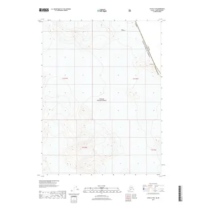
2017 Map of Atlin A-7 SW
USGS Topo · Published 2017About this map
Tongass National Forest dominates the high-altitude landscape of this 2017 survey, where the international boundary between Alaska and Canada follows the crests of the Coast Mountains. This remote section of the Haines Borough is defined by extreme topography and glaciated peaks, including the prominent Mt Service on the eastern edge of the quadrangle. The map documents the precise placement of the border line as it navigates the high ridges, providing an essential record for those studying the geography of the American Northwest and the vast protected wilderness of the Alaska panhandle. The lack of human infrastructure or roads emphasizes the isolation of this alpine environment during the early 21st century.
Find a feature on this map
10 named features on this map. Tap any name to fly to it.
Don’t see what you’re looking for? This feature index may not catch every label — zoom into the map to look around manually.
Map Details
Editions of this 2017 Atlin A-7 SW Map
This is the sole edition of this map. No revisions or reprints were ever made.
Other maps of this area

1949 · Atlin
USGS Topo · 1:250,000

1951 · Juneau
USGS Topo · 1:250,000

1951 · Atlin
USGS Topo · 1:250,000

1960 · Juneau D-2
USGS Topo · 1:63,360

1960 · Atlin A-8
USGS Topo · 1:63,360
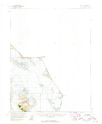
1960 · Atlin A-7
USGS Topo · 1:63,360

1960 · Atlin
USGS Topo · 1:250,000

1962 · Juneau
USGS Topo · 1:250,000
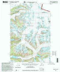
1997 · Juneau D-2
USGS Topo · 1:63,360
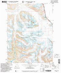
2004 · Atlin A-8
USGS Topo · 1:63,360