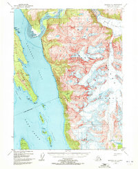
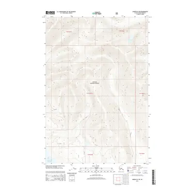
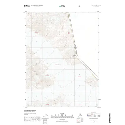
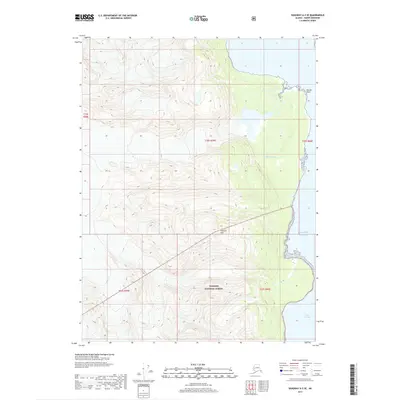
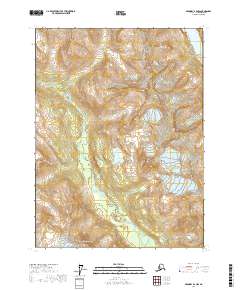
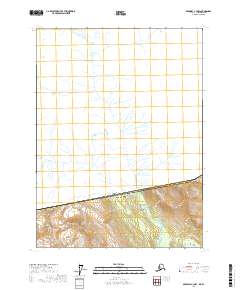
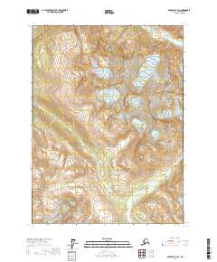
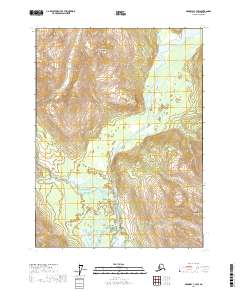
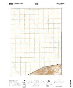
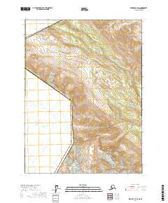
1960 Map of Atlin A-8
USGS Topo · Published 1976About this map
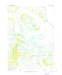
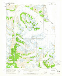
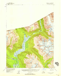
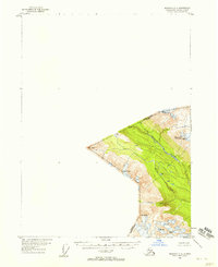
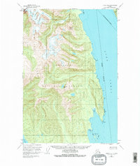
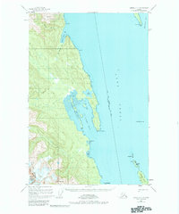
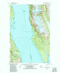
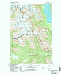
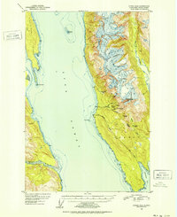
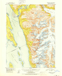
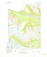
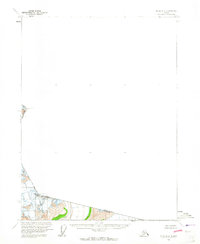
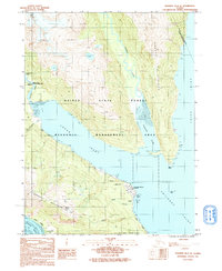
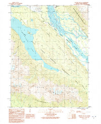
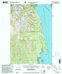
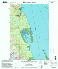
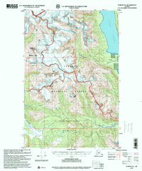
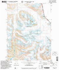
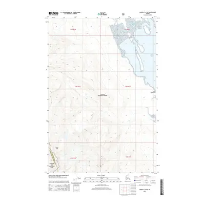
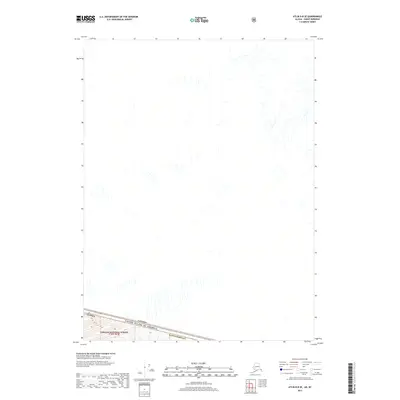
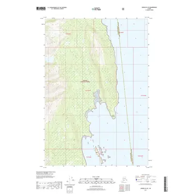
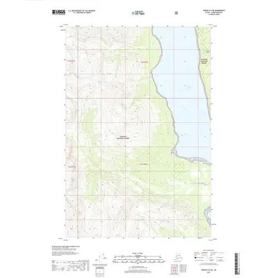
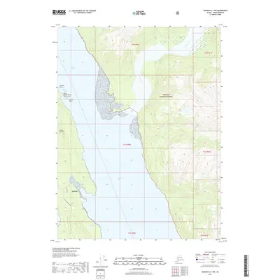
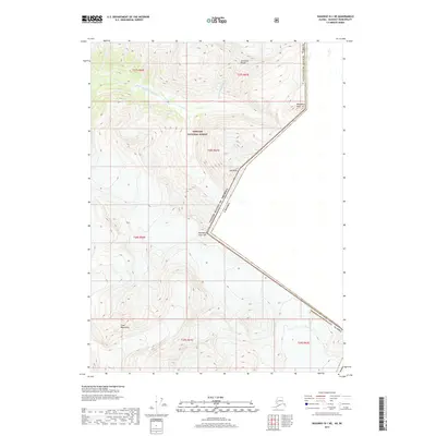
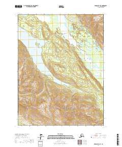
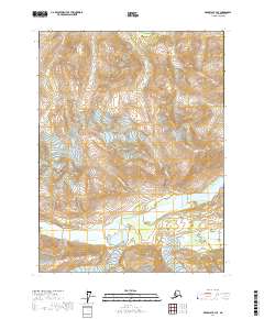
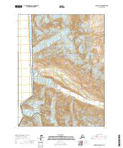
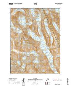
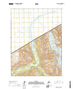
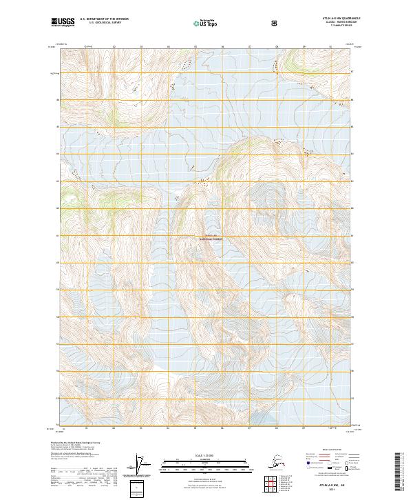
The Meade Glacier dominates this high-altitude landscape along the border of Alaska and British Columbia, illustrating the immense scale of the ice fields in the mid-twentieth century. Meltwater from the southern reaches of this glacial system feeds the Lace River, which flows through the Tongass National Forest. The map documents a complex network of crevasses and ice features including the Ogive Glacier, positioned between prominent peaks like Mount Leland and Mt Canning. An Indefinite Boundary reflects the challenging nature of surveying this terrain, where the international line between the United States and Canada runs across peaks such as Mount Pullen. This survey records the position of these ice masses before decades of environmental change, offering a precise view of the region's topography as field-annotated in 1960.
Find a feature on this map
10 named features on this map. Tap any name to fly to it.
Don’t see what you’re looking for? This feature index may not catch every label — zoom into the map to look around manually.
Map Details
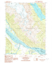
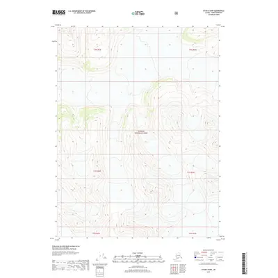
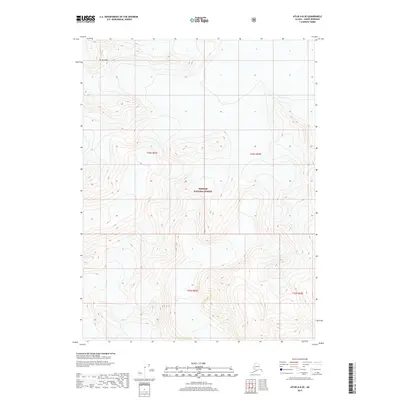
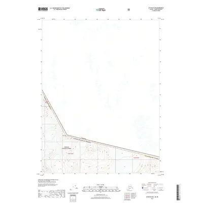
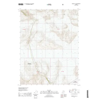
Editions of this 1960 Atlin A-8 Map
2 editions found
Historical Maps of Haines Through Time
133 maps found
1948 Juneau B-4
Haines Borough, AK
1948 Juneau C-4
Haines Borough, AK
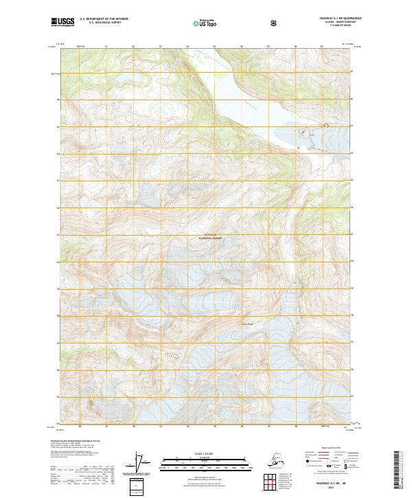
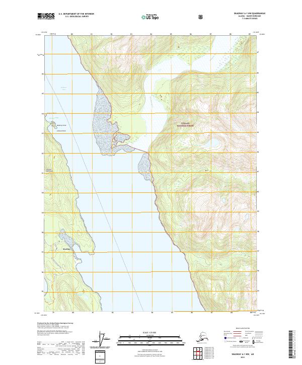
1948 Skagway A-1
Haines Borough, AK
1948 Skagway C-3
Haines Borough, AK
1948 Skagway C-4
Haines Borough, AK

1949 Atlin
Haines Borough, AK
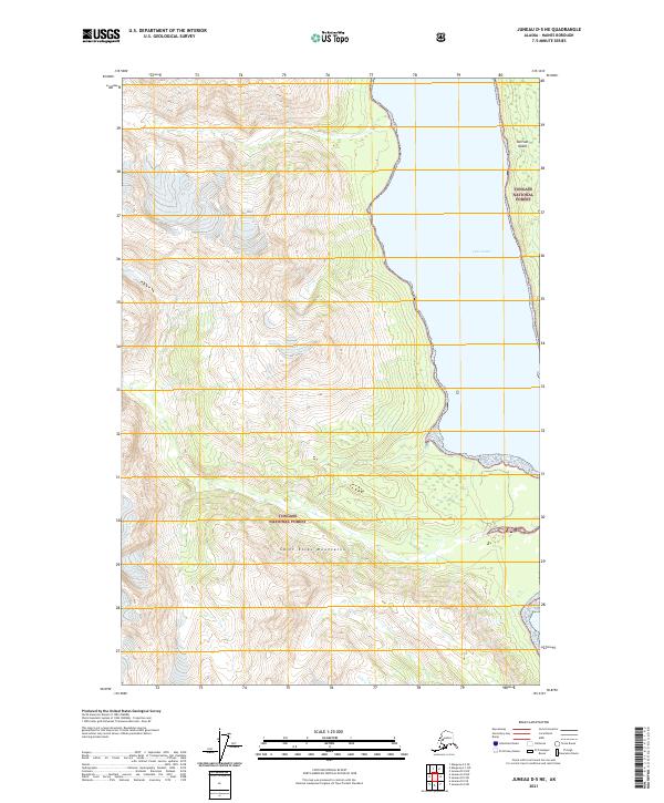
1949 Juneau B-4
Haines Borough, AK
1949 Juneau C-4
Haines Borough, AK
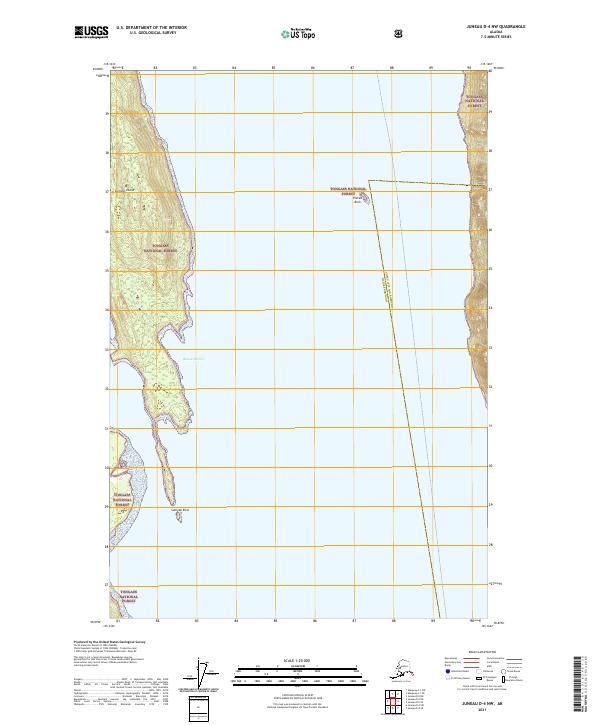
1949 Juneau D-4
Haines Borough, AK
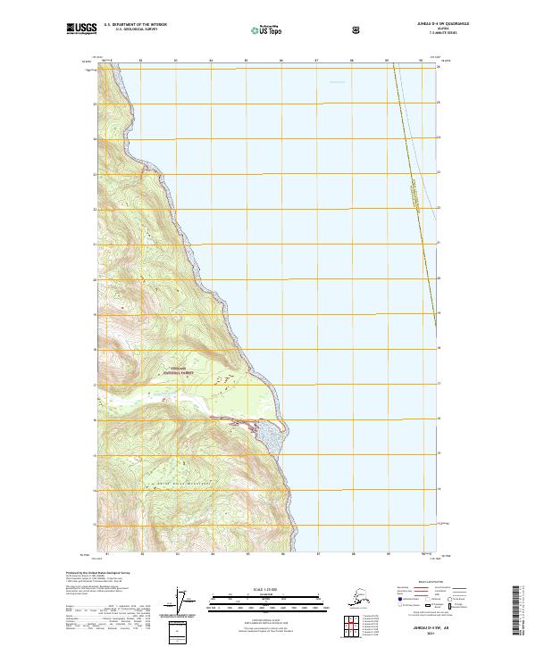
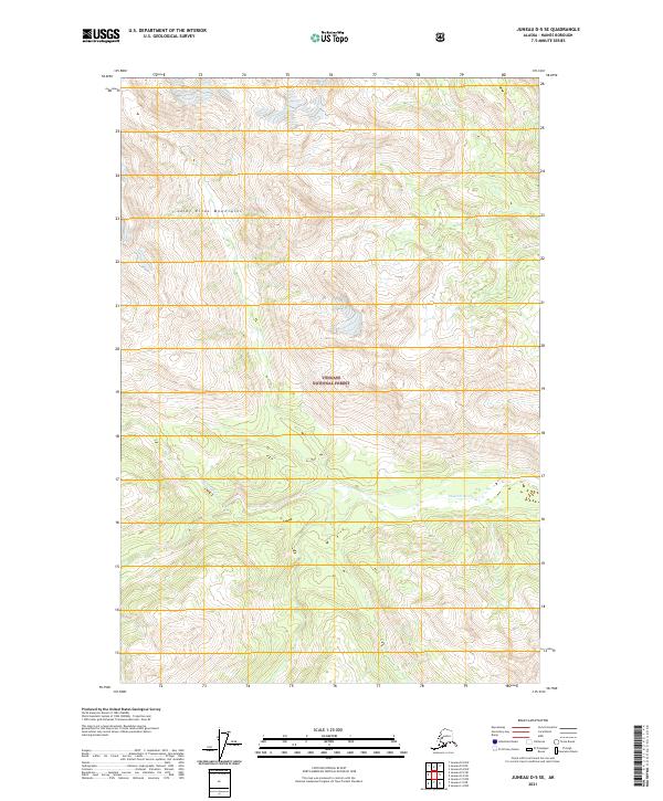
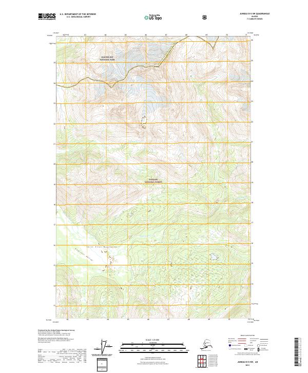
1949 Juneau D-5
Haines Borough, AK

1951 Atlin
Haines Borough, AK
1951 Juneau D-4
Haines Borough, AK
1951 Skagway A-1
Haines Borough, AK
1954 Skagway A-2
Haines Borough, AK
1954 Skagway B-2
Haines Borough, AK
1954 Skagway B-3
Haines Borough, AK
1954 Skagway B-4
Haines Borough, AK
1954 Skagway C-3
Haines Borough, AK
1954 Skagway C-4
Haines Borough, AK
1960 Atlin A-7
Haines Borough, AK
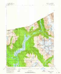
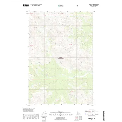
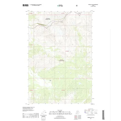
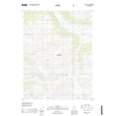
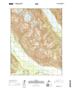
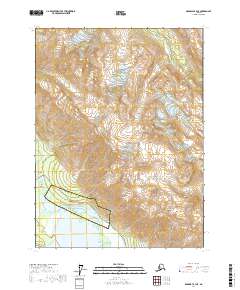
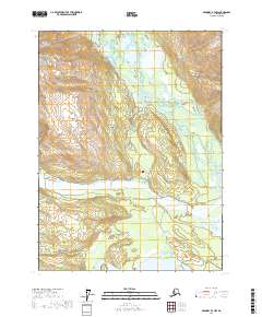
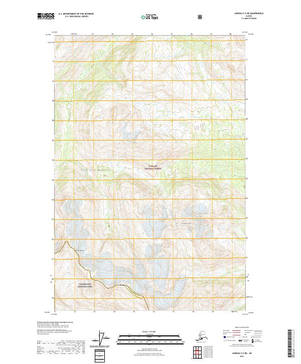
1960 Atlin A-8
Haines Borough, AK
1960 Atlin B-8
Haines Borough, AK
1960 Atlin
Haines Borough, AK
1991 Skagway A-1 NW
Haines Borough, AK

1991 Skagway A-2 NE
Haines Borough, AK
1991 Skagway B-1 SW
Haines Borough, AK
1991 Skagway B-2 SE
Haines Borough, AK
1991 Skagway B-2 SW
Haines Borough, AK
1991 Skagway B-3 NE
Haines Borough, AK
1991 Skagway B-3 NW
Haines Borough, AK
1991 Skagway B-3 SE
Haines Borough, AK
1991 Skagway B-3 SW
Haines Borough, AK
1992 Skagway B-4 NE
Haines Borough, AK
1992 Skagway B-4 NW
Haines Borough, AK
1996 Juneau B-4
Haines Borough, AK
1996 Juneau C-4
Haines Borough, AK
1996 Juneau D-5
Haines Borough, AK
2004 Atlin A-7
Haines Borough, AK
2004 Atlin A-8
Haines Borough, AK
2004 Skagway A-1
Haines Borough, AK

2004 Skagway A-2
Haines Borough, AK
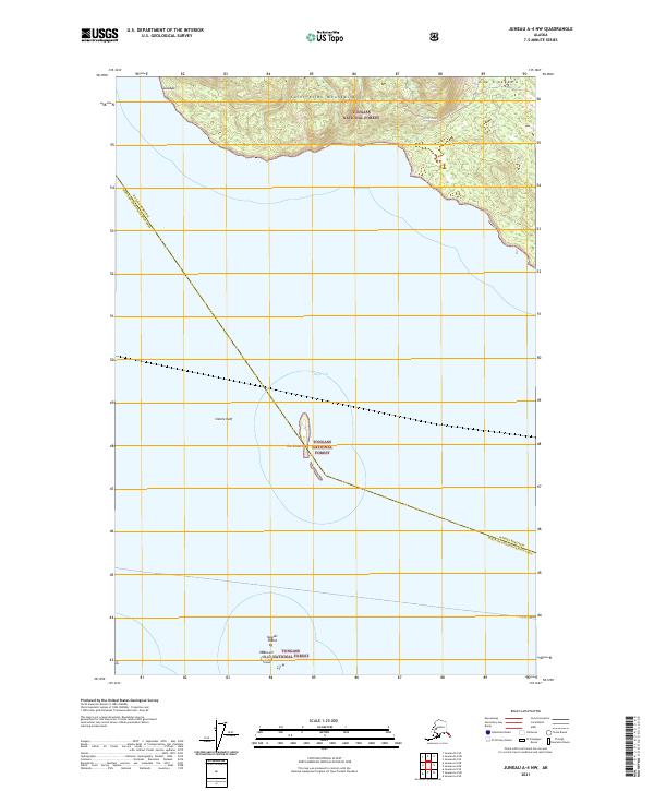
2015 Juneau A-4 NW
Haines Borough, AK
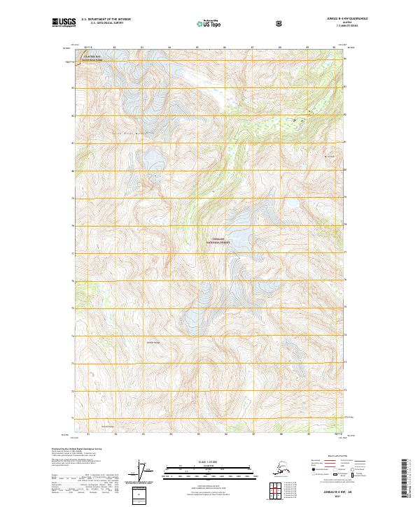
2015 Juneau B-4 NW
Haines Borough, AK
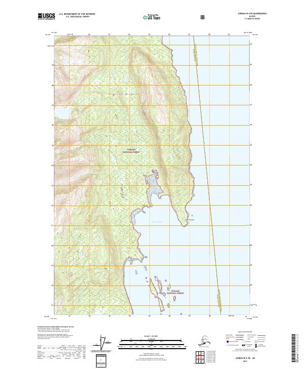
2015 Juneau B-4 SW
Haines Borough, AK
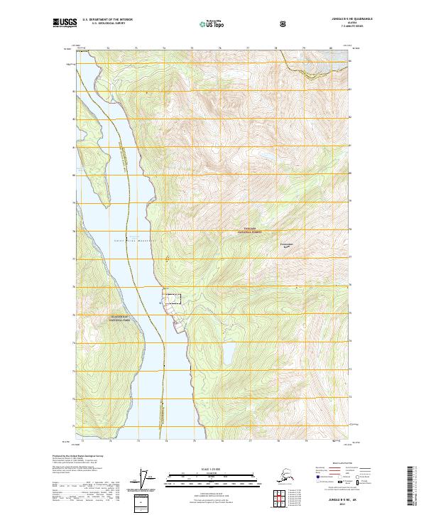
2015 Juneau B-5 NE
Haines Borough, AK
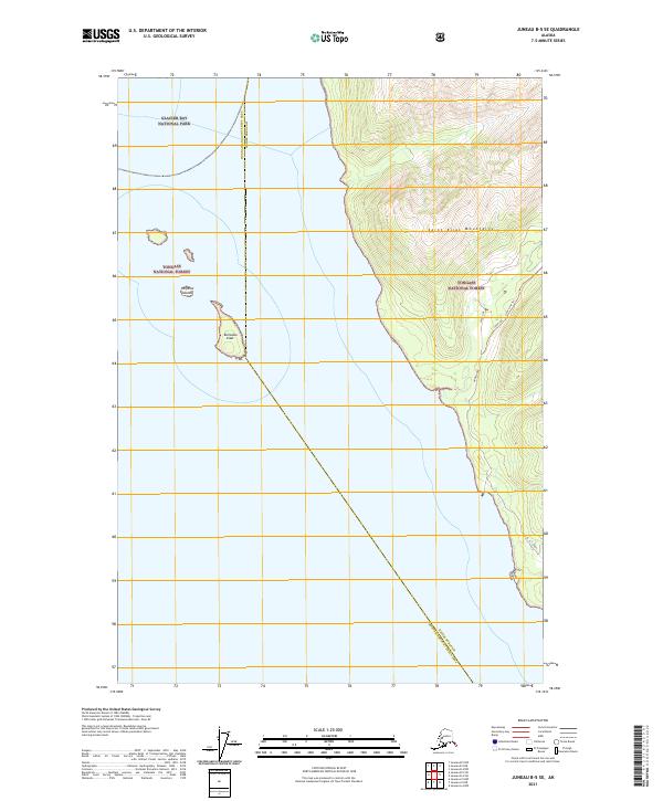
2015 Juneau B-5 SE
Haines Borough, AK
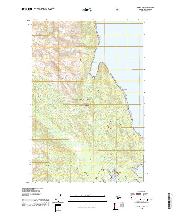
2015 Juneau C-4 NW
Haines Borough, AK
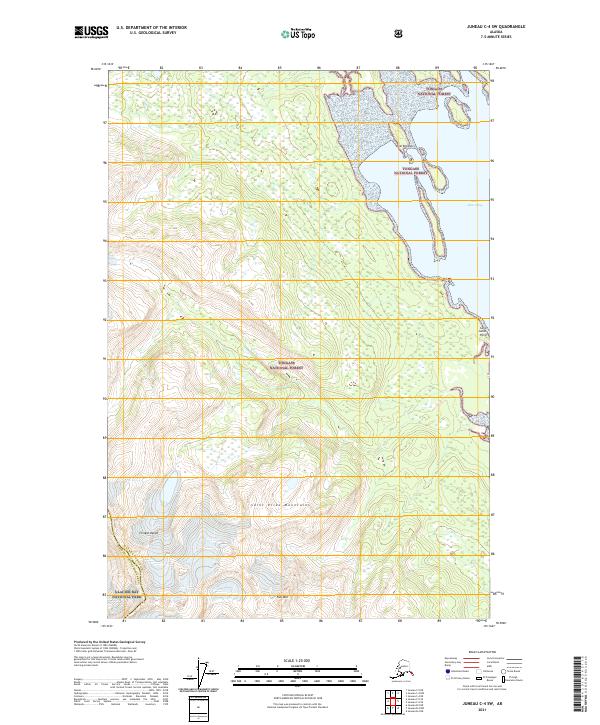
2015 Juneau C-4 SW
Haines Borough, AK
2017 Atlin A-7 NW
Haines Borough, AK
2017 Atlin A-7 SE
Haines Borough, AK
2017 Atlin A-7 SW
Haines Borough, AK
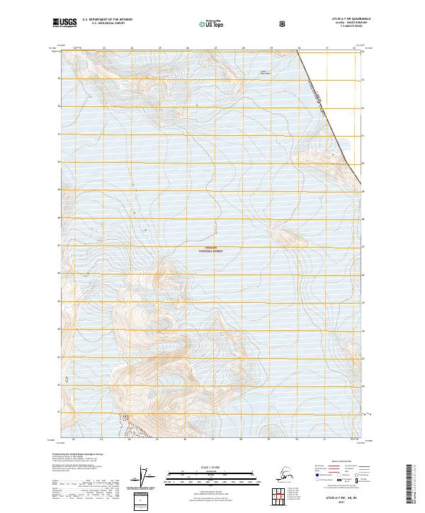
2017 Atlin A-8 NE
Haines Borough, AK
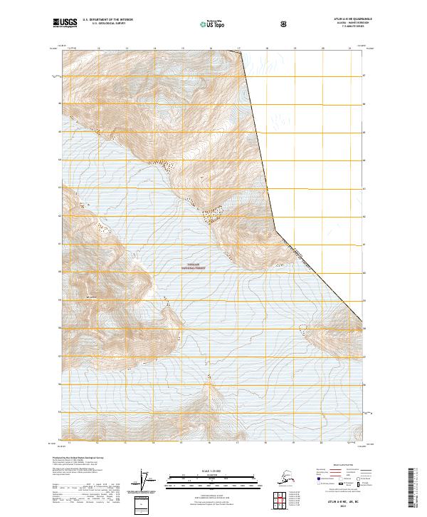
2017 Atlin A-8 NW
Haines Borough, AK
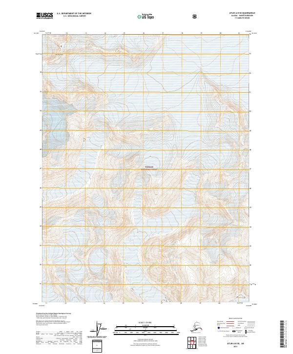
2017 Atlin A-8 SE
Haines Borough, AK
2017 Atlin A-8 SW
Haines Borough, AK
2017 Atlin B-8 SE
Haines Borough, AK
2017 Atlin B-8 SW
Haines Borough, AK
2017 Juneau A-4 NE
Haines Borough, AK
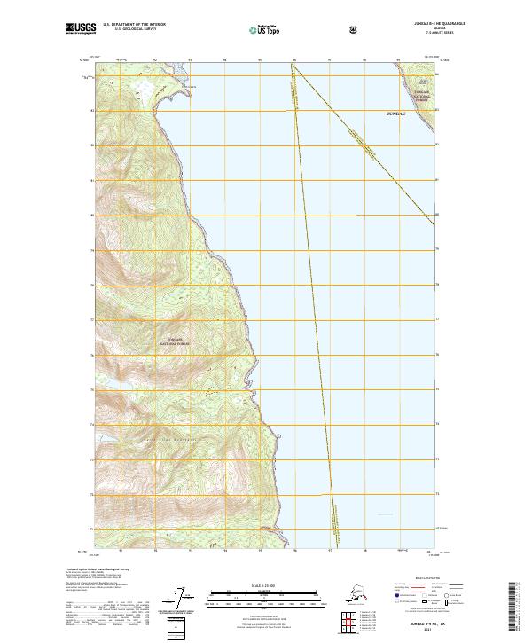
2017 Juneau B-4 NE
Haines Borough, AK
2017 Juneau B-4 SE
Haines Borough, AK
2017 Juneau C-5 NE
Haines Borough, AK
2017 Juneau D-4 NW
Haines Borough, AK
2017 Juneau D-4 SW
Haines Borough, AK
2017 Juneau D-5 NE
Haines Borough, AK
2017 Juneau D-5 SE
Haines Borough, AK
2017 Juneau D-5 SW
Haines Borough, AK
2017 Skagway A-1 NE
Haines Borough, AK
2017 Skagway A-1 NW
Haines Borough, AK
2017 Skagway A-1 SE
Haines Borough, AK
2017 Skagway A-1 SW
Haines Borough, AK

2017 Skagway A-2 NE
Haines Borough, AK
2017 Skagway A-2 NW
Haines Borough, AK
2017 Skagway A-2 SE
Haines Borough, AK
2017 Skagway A-2 SW
Haines Borough, AK
2017 Skagway A-3 NE
Haines Borough, AK
2017 Skagway A-3 NW
Haines Borough, AK
2017 Skagway B-1 NE
Haines Borough, AK
2017 Skagway B-1 SE
Haines Borough, AK
2017 Skagway B-1 SW
Haines Borough, AK
2017 Skagway B-2 NE
Haines Borough, AK
2017 Skagway B-2 NW
Haines Borough, AK

2017 Skagway B-2 SE
Haines Borough, AK
2017 Skagway B-2 SW
Haines Borough, AK
2017 Skagway B-3 NE
Haines Borough, AK
2017 Skagway B-3 NW
Haines Borough, AK
2017 Skagway B-3 SE
Haines Borough, AK
2017 Skagway B-3 SW
Haines Borough, AK
2017 Skagway B-4 NE
Haines Borough, AK
2017 Skagway B-4 NW
Haines Borough, AK
2017 Skagway B-4 SE
Haines Borough, AK
2017 Skagway B-4 SW
Haines Borough, AK
2017 Skagway C-2 SW
Haines Borough, AK
2017 Skagway C-3 NE
Haines Borough, AK
2017 Skagway C-3 NW
Haines Borough, AK
2017 Skagway C-3 SE
Haines Borough, AK
2017 Skagway C-3 SW
Haines Borough, AK
2017 Skagway C-4 NE
Haines Borough, AK
2017 Skagway C-4 SE
Haines Borough, AK
2017 Skagway C-4 SW
Haines Borough, AK
2021 Atlin A-7 NW
Haines Borough, AK
2021 Atlin A-7 SE
Haines Borough, AK
2021 Atlin A-7 SW
Haines Borough, AK
2021 Atlin A-8 NE
Haines Borough, AK
2021 Atlin A-8 NW
Haines Borough, AK
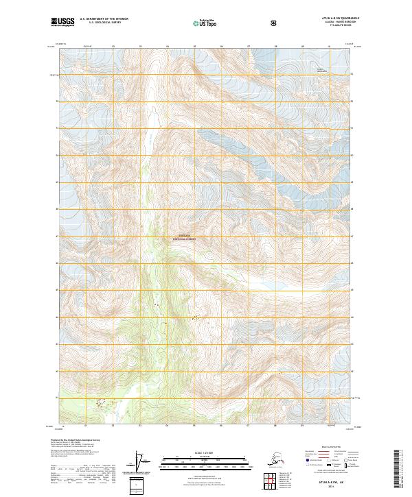
2021 Atlin A-8 SE
Haines Borough, AK
2021 Atlin A-8 SW
Haines Borough, AK
2021 Atlin B-8 SE
Haines Borough, AK
2021 Atlin B-8 SW
Haines Borough, AK
2021 Juneau A-4 NE
Haines Borough, AK
2021 Juneau A-4 NW
Haines Borough, AK
2021 Juneau B-4 NE
Haines Borough, AK
2021 Juneau B-4 NW
Haines Borough, AK
2021 Juneau B-4 SE
Haines Borough, AK

2021 Juneau B-4 SW
Haines Borough, AK
2021 Juneau B-5 NE
Haines Borough, AK
2021 Juneau B-5 SE
Haines Borough, AK
2021 Juneau C-4 NW
Haines Borough, AK
2021 Juneau C-4 SW
Haines Borough, AK
2021 Juneau C-5 NE
Haines Borough, AK
2021 Juneau D-4 NW
Haines Borough, AK
2021 Juneau D-4 SW
Haines Borough, AK
2021 Juneau D-5 NE
Haines Borough, AK
2021 Juneau D-5 SE
Haines Borough, AK
2021 Juneau D-5 SW
Haines Borough, AK
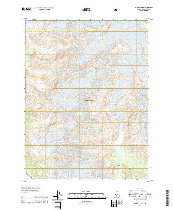
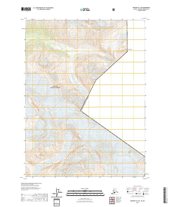
2021 Skagway A-1 NE
Haines Borough, AK
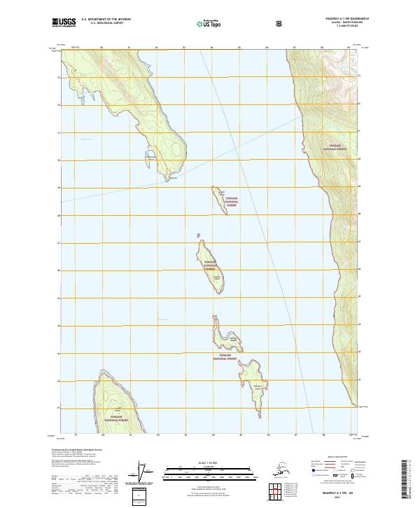
2021 Skagway A-1 NW
Haines Borough, AK
2021 Skagway A-1 SE
Haines Borough, AK
2021 Skagway A-1 SW
Haines Borough, AK
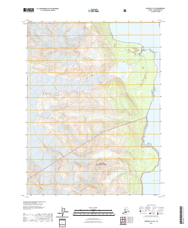
2021 Skagway A-2 SE
Haines Borough, AK
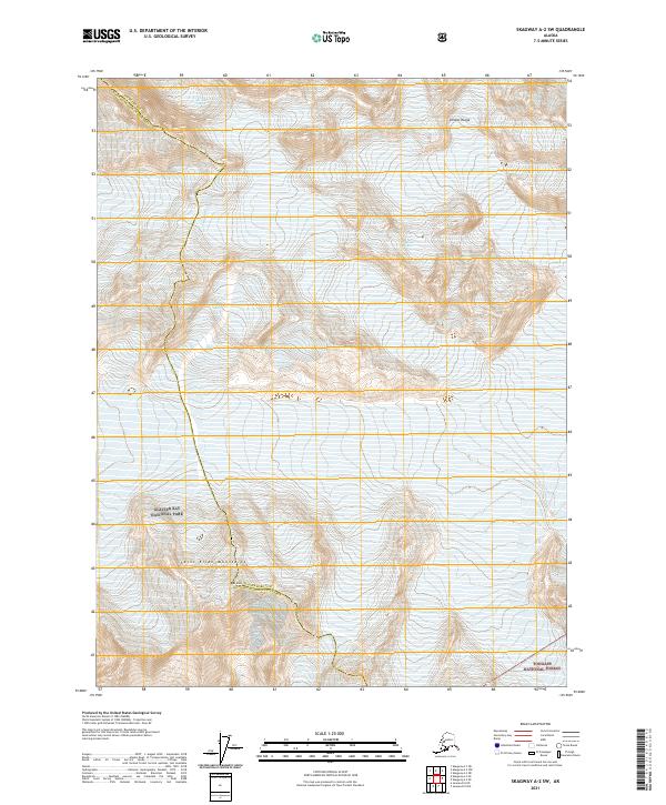
2021 Skagway A-2 SW
Haines Borough, AK
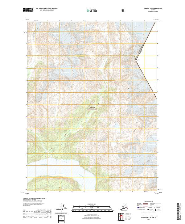
2021 Skagway B-1 NE
Haines Borough, AK
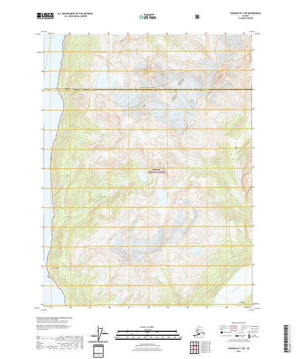
2021 Skagway B-1 SE
Haines Borough, AK
2021 Skagway B-1 SW
Haines Borough, AK