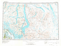
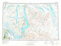
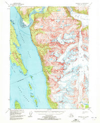
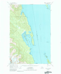
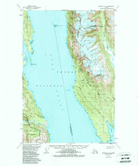
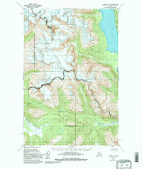
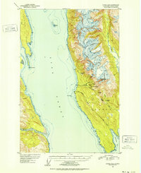
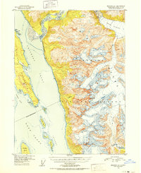
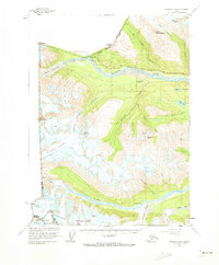
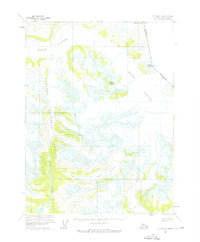
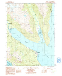
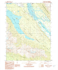
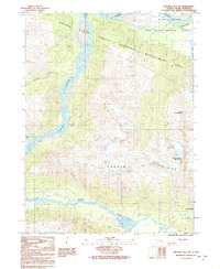
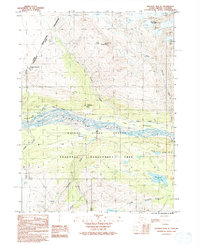
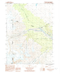
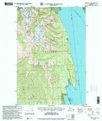
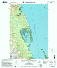
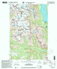
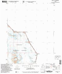
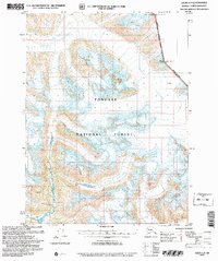
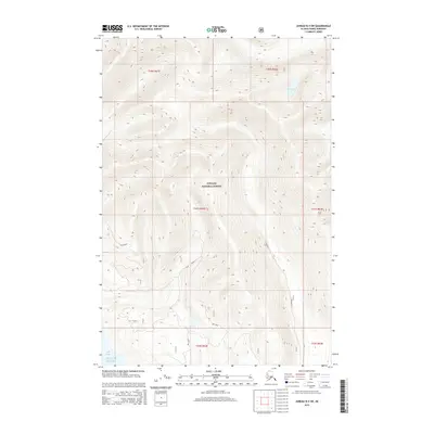
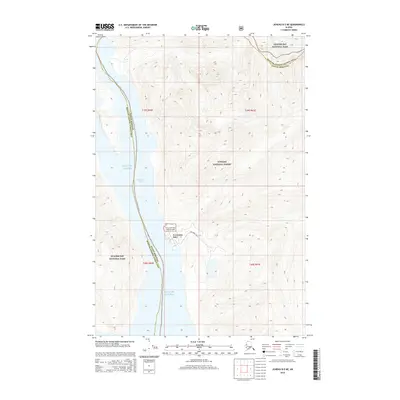
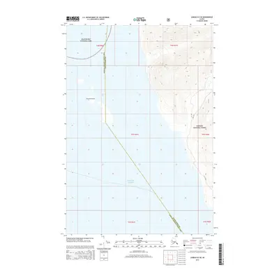
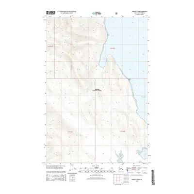
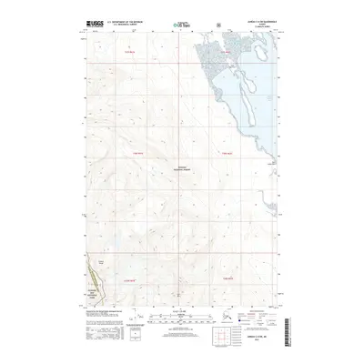
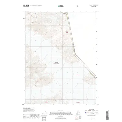
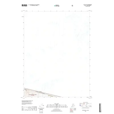
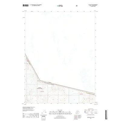
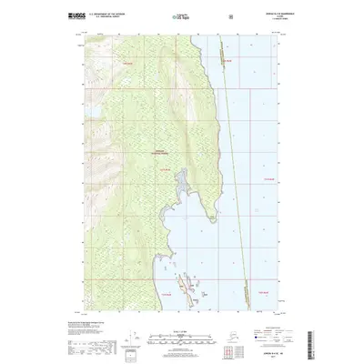
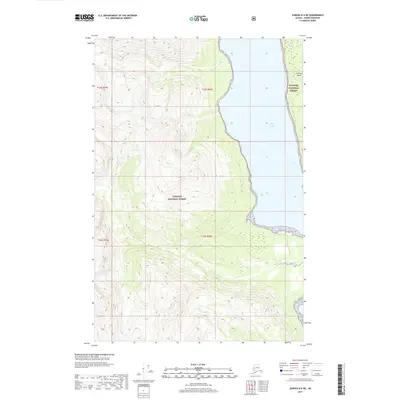
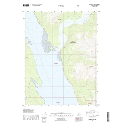
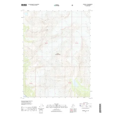
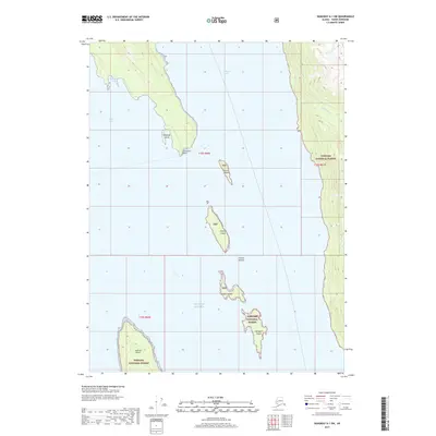
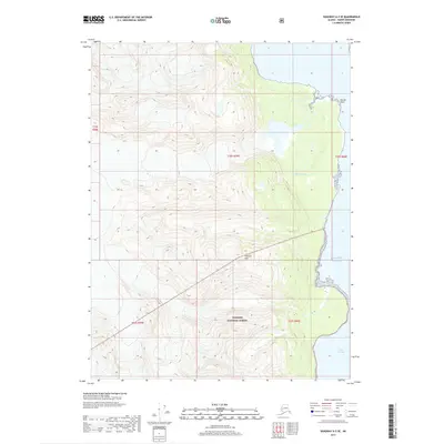
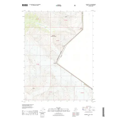
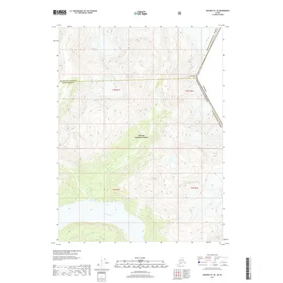
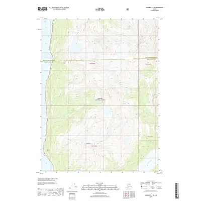
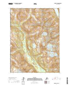
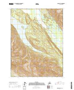
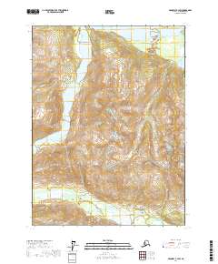
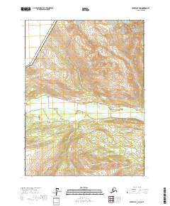
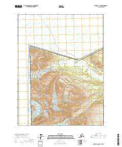
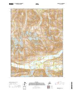
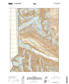
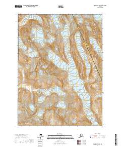
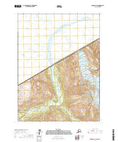
1960 Map of Atlin
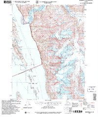
USGS Topo · Published 1971About this map
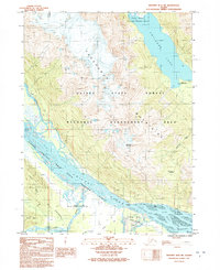
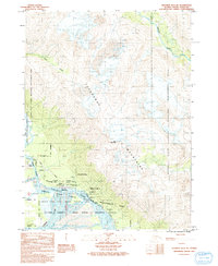
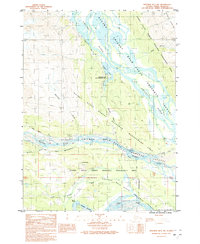
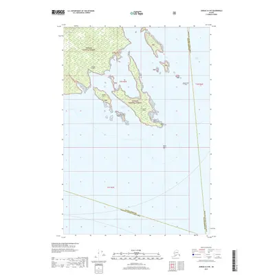
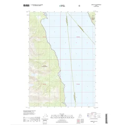
Atlin stands as the primary settlement within this vast transborder landscape, where the rugged terrain of the Coast Mountains meets the sprawling waters of Atlin Lake. The map captures a critical transition in northern transportation and industry during the mid-20th century. To the west, the White Pass and Yukon RR follows the steep geography near Pennington and Bennett, serving as a legacy of the Klondike era. The presence of several former locations, such as Tutshi (Site) and Engineer (Site), points to the shifting patterns of settlement and resource extraction in the region. Immense ice fields like the Llewellyn Glacier dominate the southern portion of the sheet, feeding a complex network of waterways including the Taku Arm and the Sloko River. This survey provides a precise record of the international boundary between British Columbia and Alaska, documenting the remote peaks and glaciated valleys before significant modern development reached many of these interior reaches.
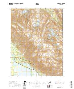
Find a feature on this map
113 named features on this map. Tap any name to fly to it.
Don’t see what you’re looking for? This feature index may not catch every label — zoom into the map to look around manually.
Map Details
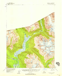
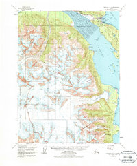
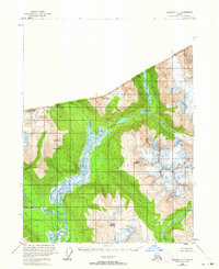
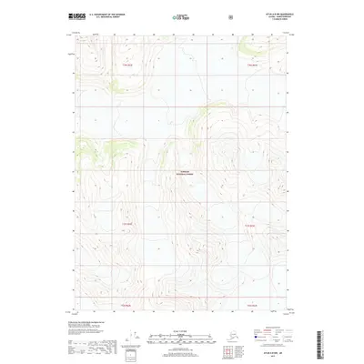
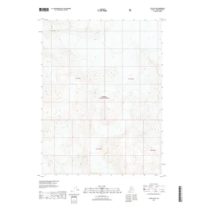
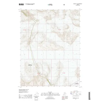
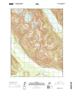
Editions of this 1960 Atlin Map
2 editions found
Historical Maps of Haines Borough Through Time
133 maps found
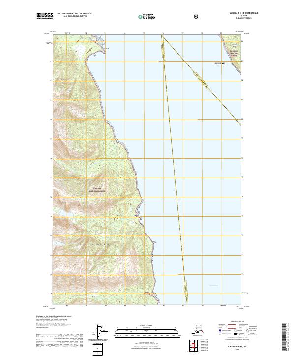
1948 Juneau B-4
Haines Borough, AK
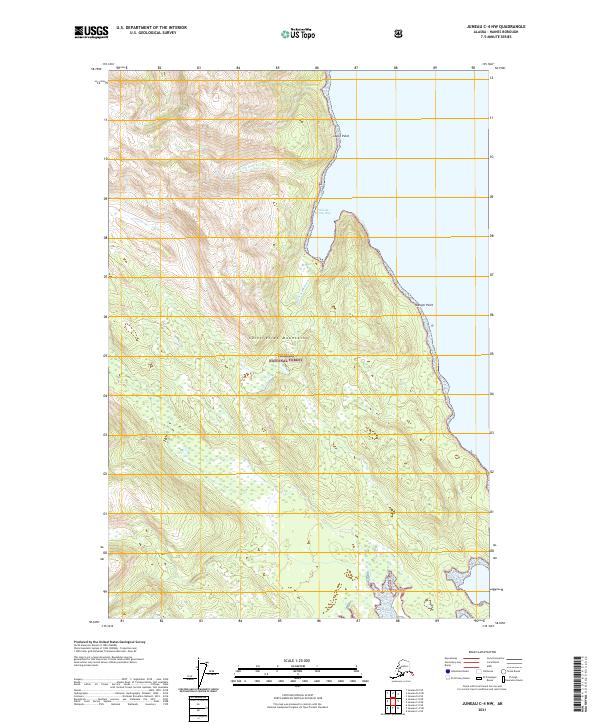
1948 Juneau C-4
Haines Borough, AK
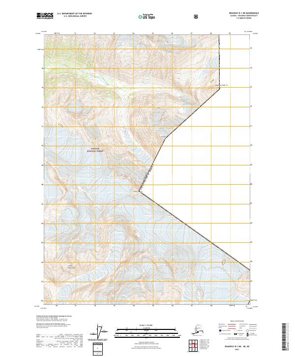
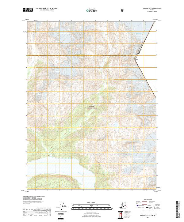
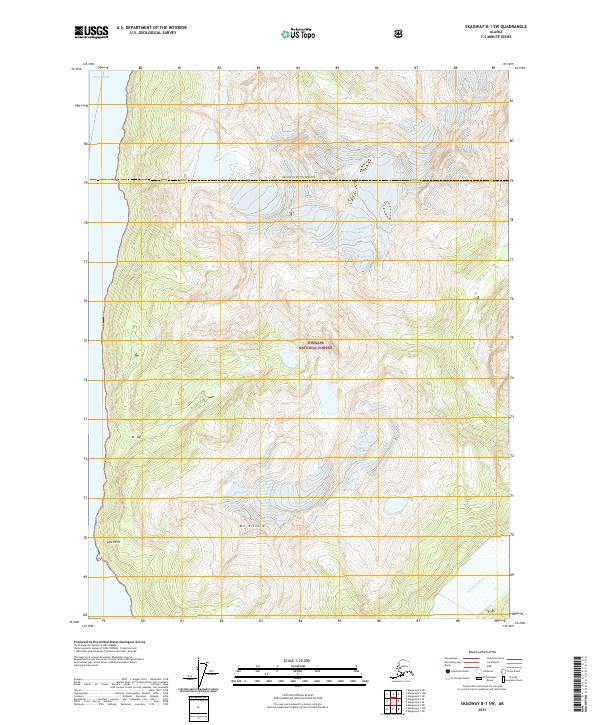
1948 Skagway A-1
Haines Borough, AK
1948 Skagway C-3
Haines Borough, AK
1948 Skagway C-4
Haines Borough, AK

1949 Atlin
Haines Borough, AK
1949 Juneau B-4
Haines Borough, AK
1949 Juneau C-4
Haines Borough, AK
1949 Juneau D-4
Haines Borough, AK
1949 Juneau D-5
Haines Borough, AK

1951 Atlin
Haines Borough, AK
1951 Juneau D-4
Haines Borough, AK
1951 Skagway A-1
Haines Borough, AK
1954 Skagway A-2
Haines Borough, AK
1954 Skagway B-2
Haines Borough, AK
1954 Skagway B-3
Haines Borough, AK
1954 Skagway B-4
Haines Borough, AK
1954 Skagway C-3
Haines Borough, AK
1954 Skagway C-4
Haines Borough, AK
1960 Atlin A-7
Haines Borough, AK
1960 Atlin A-8
Haines Borough, AK
1960 Atlin B-8
Haines Borough, AK
1960 Atlin
Haines Borough, AK
1991 Skagway A-1 NW
Haines Borough, AK

1991 Skagway A-2 NE
Haines Borough, AK
1991 Skagway B-1 SW
Haines Borough, AK
1991 Skagway B-2 SE
Haines Borough, AK
1991 Skagway B-2 SW
Haines Borough, AK
1991 Skagway B-3 NE
Haines Borough, AK
1991 Skagway B-3 NW
Haines Borough, AK
1991 Skagway B-3 SE
Haines Borough, AK
1991 Skagway B-3 SW
Haines Borough, AK
1992 Skagway B-4 NE
Haines Borough, AK
1992 Skagway B-4 NW
Haines Borough, AK
1996 Juneau B-4
Haines Borough, AK
1996 Juneau C-4
Haines Borough, AK
1996 Juneau D-5
Haines Borough, AK
2004 Atlin A-7
Haines Borough, AK
2004 Atlin A-8
Haines Borough, AK
2004 Skagway A-1
Haines Borough, AK

2004 Skagway A-2
Haines Borough, AK
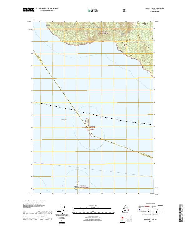
2015 Juneau A-4 NW
Haines Borough, AK
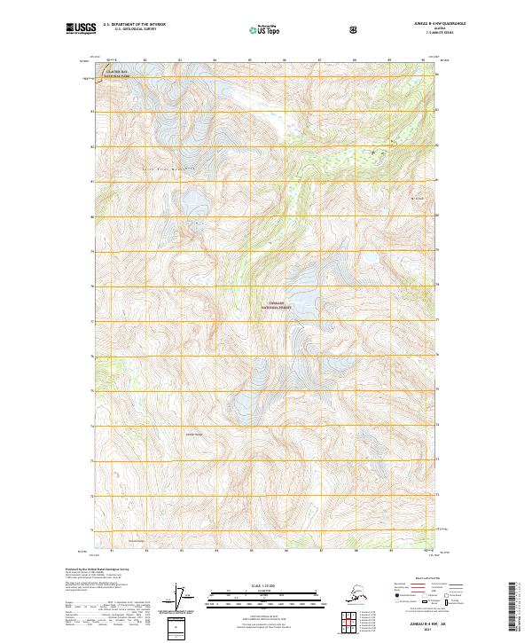
2015 Juneau B-4 NW
Haines Borough, AK
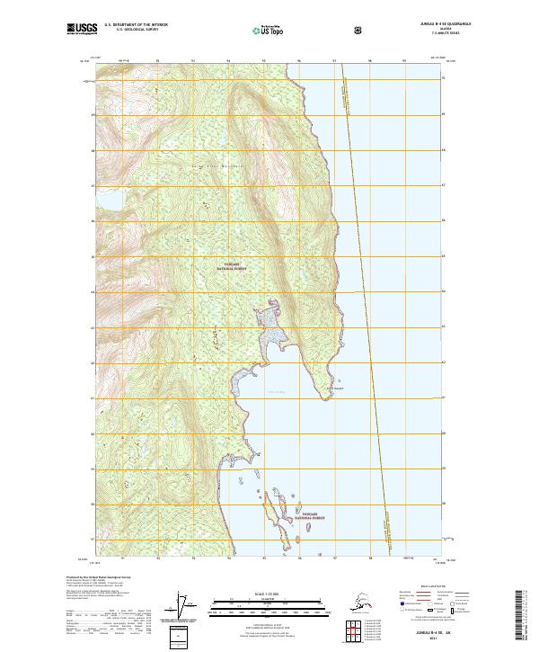
2015 Juneau B-4 SW
Haines Borough, AK
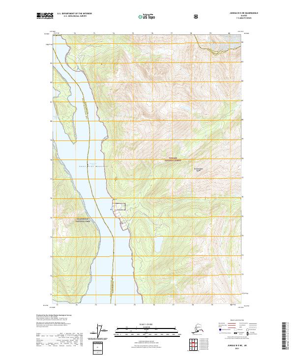
2015 Juneau B-5 NE
Haines Borough, AK
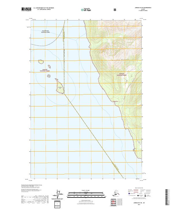
2015 Juneau B-5 SE
Haines Borough, AK
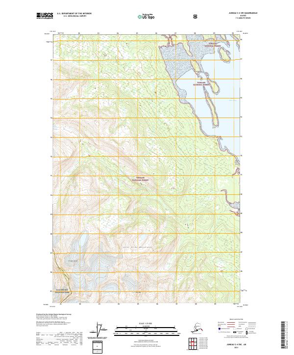
2015 Juneau C-4 NW
Haines Borough, AK
2015 Juneau C-4 SW
Haines Borough, AK
2017 Atlin A-7 NW
Haines Borough, AK
2017 Atlin A-7 SE
Haines Borough, AK
2017 Atlin A-7 SW
Haines Borough, AK
2017 Atlin A-8 NE
Haines Borough, AK
2017 Atlin A-8 NW
Haines Borough, AK
2017 Atlin A-8 SE
Haines Borough, AK
2017 Atlin A-8 SW
Haines Borough, AK
2017 Atlin B-8 SE
Haines Borough, AK
2017 Atlin B-8 SW
Haines Borough, AK
2017 Juneau A-4 NE
Haines Borough, AK
2017 Juneau B-4 NE
Haines Borough, AK
2017 Juneau B-4 SE
Haines Borough, AK
2017 Juneau C-5 NE
Haines Borough, AK
2017 Juneau D-4 NW
Haines Borough, AK
2017 Juneau D-4 SW
Haines Borough, AK
2017 Juneau D-5 NE
Haines Borough, AK
2017 Juneau D-5 SE
Haines Borough, AK
2017 Juneau D-5 SW
Haines Borough, AK
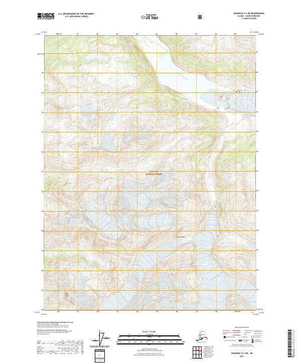
2017 Skagway A-1 NE
Haines Borough, AK
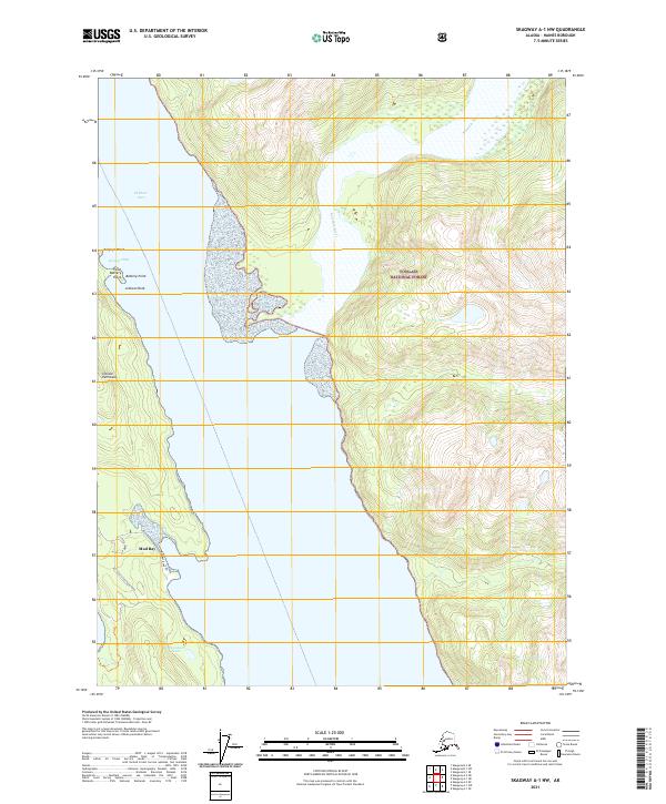
2017 Skagway A-1 NW
Haines Borough, AK
2017 Skagway A-1 SE
Haines Borough, AK
2017 Skagway A-1 SW
Haines Borough, AK

2017 Skagway A-2 NE
Haines Borough, AK
2017 Skagway A-2 NW
Haines Borough, AK
2017 Skagway A-2 SE
Haines Borough, AK
2017 Skagway A-2 SW
Haines Borough, AK
2017 Skagway A-3 NE
Haines Borough, AK
2017 Skagway A-3 NW
Haines Borough, AK
2017 Skagway B-1 NE
Haines Borough, AK
2017 Skagway B-1 SE
Haines Borough, AK
2017 Skagway B-1 SW
Haines Borough, AK
2017 Skagway B-2 NE
Haines Borough, AK
2017 Skagway B-2 NW
Haines Borough, AK

2017 Skagway B-2 SE
Haines Borough, AK
2017 Skagway B-2 SW
Haines Borough, AK
2017 Skagway B-3 NE
Haines Borough, AK
2017 Skagway B-3 NW
Haines Borough, AK
2017 Skagway B-3 SE
Haines Borough, AK
2017 Skagway B-3 SW
Haines Borough, AK
2017 Skagway B-4 NE
Haines Borough, AK
2017 Skagway B-4 NW
Haines Borough, AK
2017 Skagway B-4 SE
Haines Borough, AK
2017 Skagway B-4 SW
Haines Borough, AK
2017 Skagway C-2 SW
Haines Borough, AK
2017 Skagway C-3 NE
Haines Borough, AK
2017 Skagway C-3 NW
Haines Borough, AK
2017 Skagway C-3 SE
Haines Borough, AK
2017 Skagway C-3 SW
Haines Borough, AK
2017 Skagway C-4 NE
Haines Borough, AK
2017 Skagway C-4 SE
Haines Borough, AK
2017 Skagway C-4 SW
Haines Borough, AK
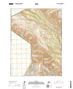
2021 Atlin A-7 NW
Haines Borough, AK
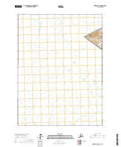
2021 Atlin A-7 SE
Haines Borough, AK
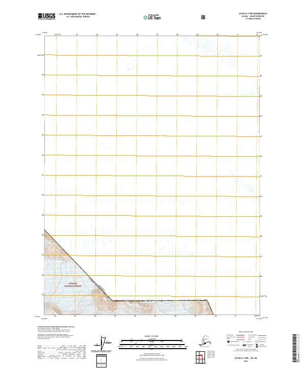
2021 Atlin A-7 SW
Haines Borough, AK
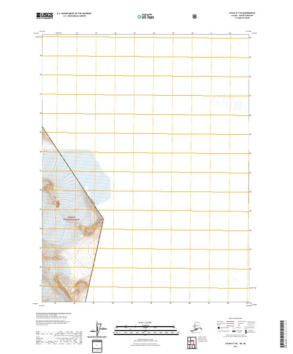
2021 Atlin A-8 NE
Haines Borough, AK
2021 Atlin A-8 NW
Haines Borough, AK
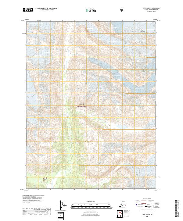
2021 Atlin A-8 SE
Haines Borough, AK
2021 Atlin A-8 SW
Haines Borough, AK
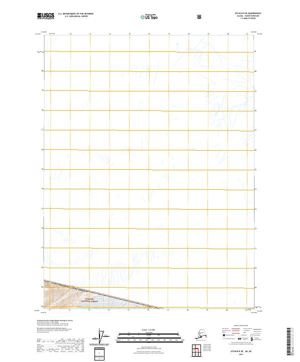
2021 Atlin B-8 SE
Haines Borough, AK
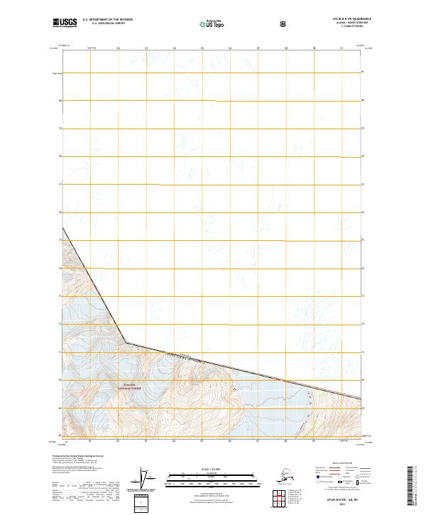
2021 Atlin B-8 SW
Haines Borough, AK
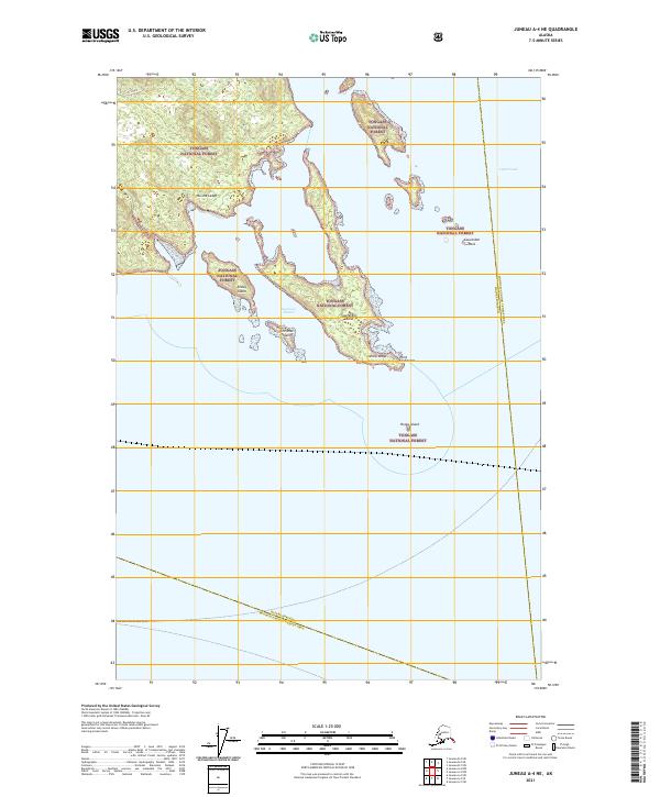
2021 Juneau A-4 NE
Haines Borough, AK
2021 Juneau A-4 NW
Haines Borough, AK
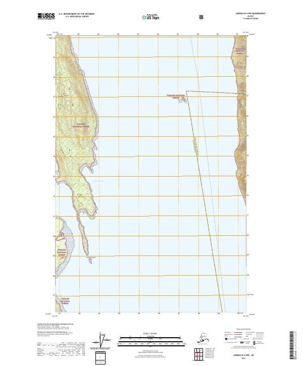
2021 Juneau B-4 NE
Haines Borough, AK
2021 Juneau B-4 NW
Haines Borough, AK
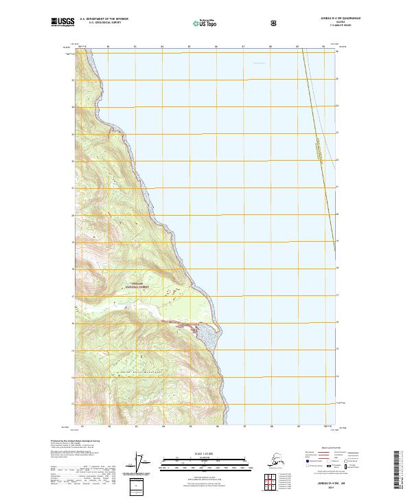
2021 Juneau B-4 SE
Haines Borough, AK

2021 Juneau B-4 SW
Haines Borough, AK
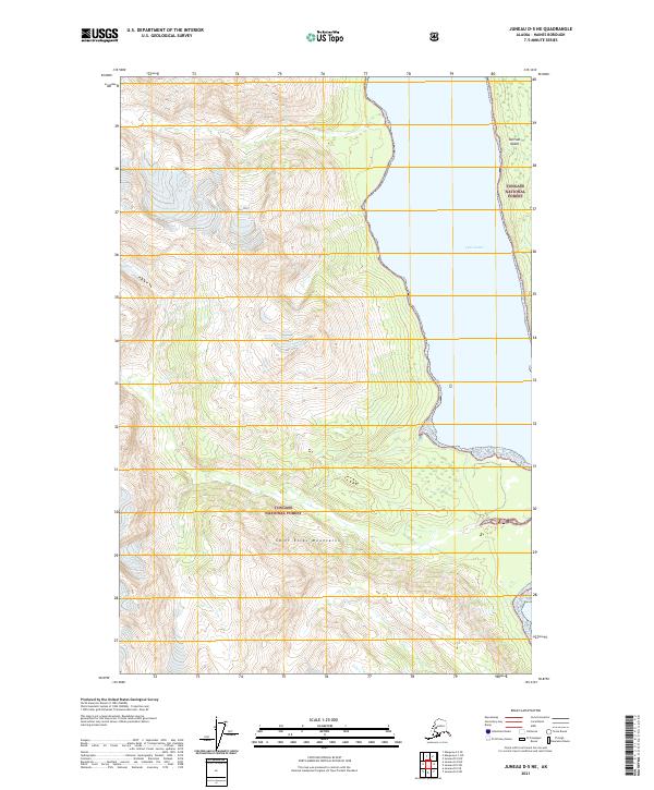
2021 Juneau B-5 NE
Haines Borough, AK
2021 Juneau B-5 SE
Haines Borough, AK
2021 Juneau C-4 NW
Haines Borough, AK
2021 Juneau C-4 SW
Haines Borough, AK
2021 Juneau C-5 NE
Haines Borough, AK
2021 Juneau D-4 NW
Haines Borough, AK
2021 Juneau D-4 SW
Haines Borough, AK
2021 Juneau D-5 NE
Haines Borough, AK
2021 Juneau D-5 SE
Haines Borough, AK
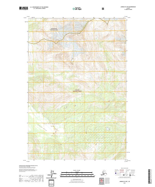
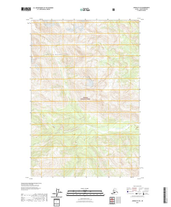
2021 Juneau D-5 SW
Haines Borough, AK
2021 Skagway A-1 NE
Haines Borough, AK
2021 Skagway A-1 NW
Haines Borough, AK
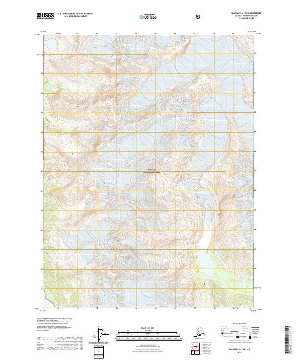
2021 Skagway A-1 SE
Haines Borough, AK
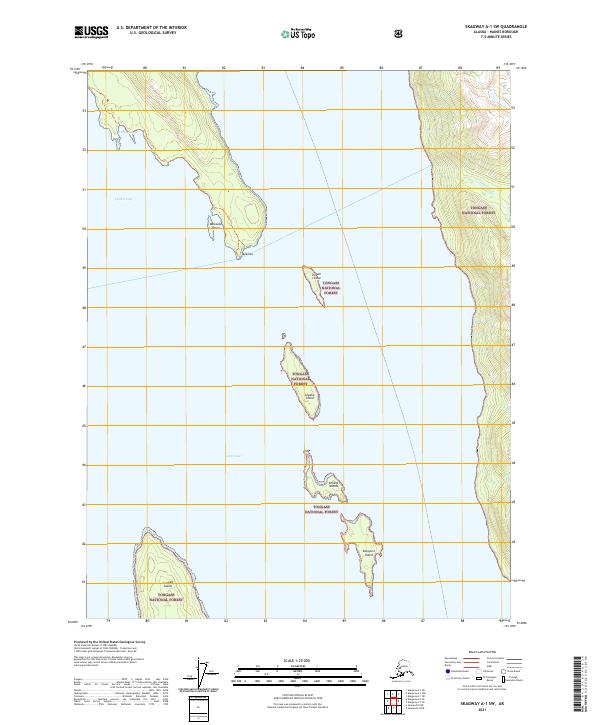
2021 Skagway A-1 SW
Haines Borough, AK
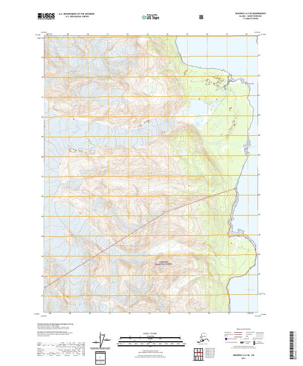
2021 Skagway A-2 SE
Haines Borough, AK
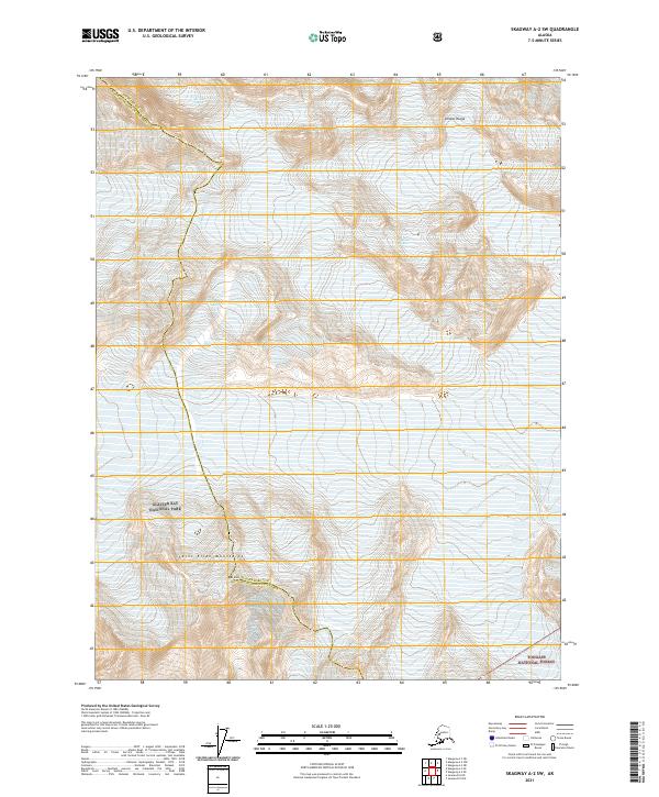
2021 Skagway A-2 SW
Haines Borough, AK
2021 Skagway B-1 NE
Haines Borough, AK
2021 Skagway B-1 SE
Haines Borough, AK
2021 Skagway B-1 SW
Haines Borough, AK