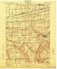
1905 Map of Attica
USGS Topo · Published 1913About this map
Attica serves as the focal point of this early 20th-century survey, situated at the confluence of several vital rail lines and Tonawanda Creek. The landscape is a dense network of competing late-19th-century infrastructure, featuring the Lehigh Valley Railroad, the Delaware Lackawanna and Western Railroad, and the Erie RR (Attica Branch). These corridors connect small dairy-country settlements and station stops such as Corfu Sta, Darien Center, and Alden Sta.
Find a feature on this map
84 named features on this map. Tap any name to fly to it.
Don’t see what you’re looking for? This feature index may not catch every label — zoom into the map to look around manually.
Map Details
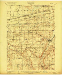
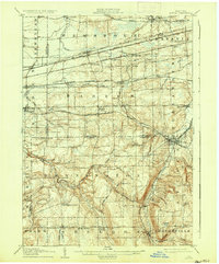
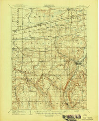
Editions of this 1905 Attica Map
5 editions found
Other maps of this area

1897 · Albion
USGS Topo · 1:62,500

1897 · Medina
USGS Topo · 1:62,500

1897 · Lockport
USGS Topo · 1:62,500

1899 · Niagara
USGS Topo · 1:125,000

1902 · Lockport
USGS Topo · 1:62,500

1904 · Batavia
USGS Topo · 1:62,500

1905 · Attica
USGS Topo · 1:62,500

1905 · Portage
USGS Topo · 1:62,500

1905 · Depew
USGS Topo · 1:62,500

1905 · Lockport
USGS Topo · 1:62,500