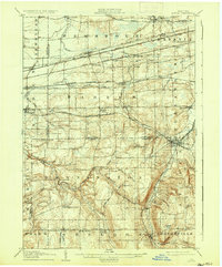
1905 Map of Attica
USGS Topo · Published 1935About this map
The rail-and-river network of Western New York is captured in detail during the early 1900s, centered on the transit hub of Attica. This landscape is defined by the convergence of major thoroughfares including the New York Central R R, the Lehigh Valley R R, and the Erie R R, which facilitated the movement of goods through the Konawaugus Valley. Small agricultural and service communities like Darien Center, Cowlesville, and Varysburg are shown along the numerous creeks that feed the watershed, such as Cayuga Creek and Tonawanda Creek. Notable landmarks include the Almshouse in the southern portion of the sheet and local water resources like Attica Res. The topography transitions from the flatter lands of Newstead and Pembroke in the north to more varied elevations near Poland Hill and Cobble Hill, reflecting the diverse geography of the Genesee and Wyoming County borderlands.
Find a feature on this map
80 named features on this map. Tap any name to fly to it.
Don’t see what you’re looking for? This feature index may not catch every label — zoom into the map to look around manually.
Map Details
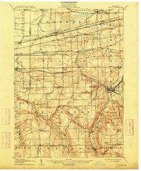
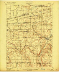
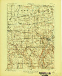
Editions of this 1905 Attica Map
5 editions found
Other maps of this area

1897 · Albion
USGS Topo · 1:62,500

1897 · Medina
USGS Topo · 1:62,500

1897 · Lockport
USGS Topo · 1:62,500

1899 · Niagara
USGS Topo · 1:125,000

1902 · Lockport
USGS Topo · 1:62,500

1904 · Batavia
USGS Topo · 1:62,500

1905 · Attica
USGS Topo · 1:62,500

1905 · Portage
USGS Topo · 1:62,500

1905 · Depew
USGS Topo · 1:62,500

1905 · Lockport
USGS Topo · 1:62,500