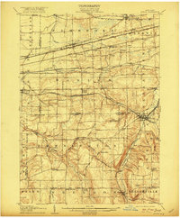
1905 Map of Attica
USGS Topo · Published 1922About this map
Attica serves as a major railroad hub on this early twentieth-century survey, where the Erie RR and Attica and Arcade RR intersect near the Tonawanda Creek. The northern portion of the landscape is dominated by heavy rail infrastructure, including the New York Central and Hudson River and the Lehigh Valley RR, which pass through settlements like Corfu and East Pembroke. These transportation corridors facilitated the movement of goods and people across the Erie and Genesee County lines.
Find a feature on this map
81 named features on this map. Tap any name to fly to it.
Don’t see what you’re looking for? This feature index may not catch every label — zoom into the map to look around manually.
Map Details
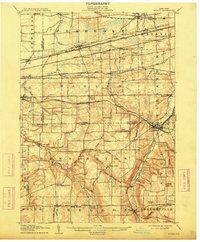
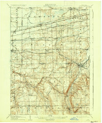
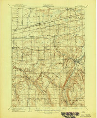
Editions of this 1905 Attica Map
5 editions found
Other maps of this area

1897 · Albion
USGS Topo · 1:62,500

1897 · Medina
USGS Topo · 1:62,500

1897 · Lockport
USGS Topo · 1:62,500

1899 · Niagara
USGS Topo · 1:125,000

1902 · Lockport
USGS Topo · 1:62,500

1904 · Batavia
USGS Topo · 1:62,500

1905 · Attica
USGS Topo · 1:62,500

1905 · Portage
USGS Topo · 1:62,500

1905 · Depew
USGS Topo · 1:62,500

1905 · Lockport
USGS Topo · 1:62,500