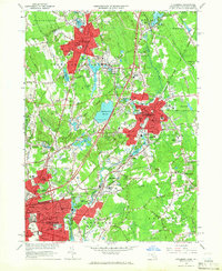
1964 Map of Attleboro
USGS Topo · Published 1966About this map
Attleboro and its industrial satellites are captured in high detail during the mid-1960s, showing a landscape defined by the winding Tenmile River and a dense network of early transportation routes. The map documents the city's growth, from the core downtown area housing the Sturdy Mem Hospital and Capron Park, to outlying industrial and religious centers like the LaSalette Seminary and the Fuller Memorial Sanitarium. The convergence of the New York New Haven and Hartford Railroad and the Old Colony Railroad illustrates the area's historical reliance on rail for both transit and manufacturing.
Find a feature on this map
213 named features on this map. Tap any name to fly to it.
Don’t see what you’re looking for? This feature index may not catch every label — zoom into the map to look around manually.
Map Details
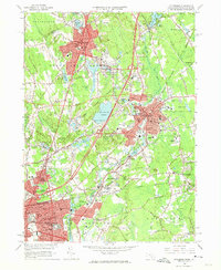
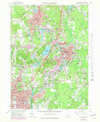
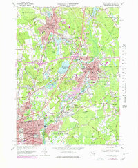
Editions of this 1964 Attleboro Map
4 editions found
Other maps of this area

1885 · Taunton
USGS Topo · 1:62,500

1886 · Dedham
USGS Topo · 1:62,500

1887 · Franklin
USGS Topo · 1:62,500

1887 · Providence
USGS Topo · 1:62,500

1888 · Taunton
USGS Topo · 1:62,500

1889 · Providence
USGS Topo · 1:62,500

1889 · Franklin
USGS Topo · 1:62,500

1893 · Taunton
USGS Topo · 1:62,500

1893 · Franklin
USGS Topo · 1:62,500

1894 · Dedham
USGS Topo · 1:62,500