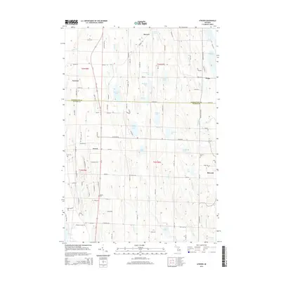
2014 Map of Atwood
USGS Topo · Published 2014About this map
The boundary between Charlevoix and Antrim counties divides this northern Michigan landscape, where agricultural plateaus meet a dense network of inland lakes and coastal drainage. The village of Ellsworth serves as a local hub near the eastern margin, while the settlement of Atwood sits further west along the Us-31 corridor. For family historians, the map is a significant record of local resting places, including Antrim Cem, Atwood Cem, Ellsworth Cem, and the Catholic Cem.
Find a feature on this map
108 named features on this map. Tap any name to fly to it.
Don’t see what you’re looking for? This feature index may not catch every label — zoom into the map to look around manually.
Map Details
Editions of this 2014 Atwood Map
This is the sole edition of this map. No revisions or reprints were ever made.
Other maps of this area

1954 · Central Lake
USGS Topo · 1:62,500

1954 · Charlevoix
USGS Topo · 1:62,500

1955 · Cheboygan
USGS Topo · 1:250,000

1958 · Cheboygan
USGS Topo · 1:250,000

1958 · Bayshore
USGS Topo · 1:62,500

1961 · Boyne City
USGS Topo · 1:62,500

1975 · Boyne City NW
USGS Topo · 1:24,000
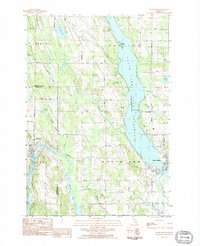
1983 · Ellsworth
USGS Topo · 1:25,000
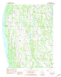
1983 · Atwood
USGS Topo · 1:24,000
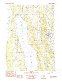
1983 · Central Lake
USGS Topo · 1:25,000