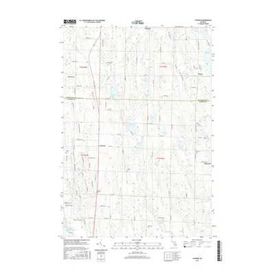
2017 Map of Atwood
USGS Topo · Published 2017About this map
Lake Michigan forms the western boundary of this coastal landscape where Antrim Co and CharleVoix Co meet. The settlement of Ellsworth stands as a focal point in the southeast near Eaton Lake, while the village of Atwood occupies the central crossroads. The map reveals a dense network of water bodies, from the larger Little Torch Lake and Lake Marion to smaller basins like Barnard Pond and Toad Lake.
Find a feature on this map
112 named features on this map. Tap any name to fly to it.
Don’t see what you’re looking for? This feature index may not catch every label — zoom into the map to look around manually.
Map Details
Editions of this 2017 Atwood Map
This is the sole edition of this map. No revisions or reprints were ever made.
Other maps of this area

1954 · Central Lake
USGS Topo · 1:62,500

1954 · Charlevoix
USGS Topo · 1:62,500

1955 · Cheboygan
USGS Topo · 1:250,000

1958 · Cheboygan
USGS Topo · 1:250,000

1958 · Bayshore
USGS Topo · 1:62,500

1961 · Boyne City
USGS Topo · 1:62,500

1975 · Boyne City NW
USGS Topo · 1:24,000
1983 · Ellsworth
USGS Topo · 1:25,000
1983 · Atwood
USGS Topo · 1:24,000
1983 · Central Lake
USGS Topo · 1:25,000