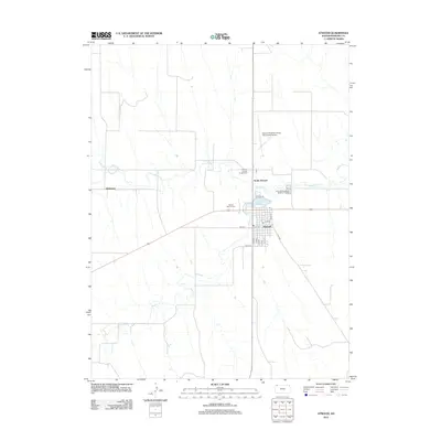
2012 Map of Atwood
USGS Topo · Published 2012About this map
Atwood serves as the focal point of this High Plains landscape, situated at the confluence of several vital watercourses. The town's layout is defined by a grid of streets such as State St and Vine St, centered near the local Post Office. To the north, Atwood Lake and the Rawlins County Fairgrounds mark the transition toward North Atwood. The drainage of Beaver Creek and its tributaries, including Little Beaver Creek and N Beaver Creek, carve through the surrounding agricultural sections. Evidence of local infrastructure is prominent, from the Atwood-Rawlins County City-County Airport in the northeast to Mount Calvary Cemetery on the western edge of town. Farther west, the small settlement of Blakeman is situated along the creek, illustrating the dispersed rural community structure of Rawlins County.
Find a feature on this map
24 named features on this map. Tap any name to fly to it.
Don’t see what you’re looking for? This feature index may not catch every label — zoom into the map to look around manually.
Map Details
Editions of this 2012 Atwood Map
This is the sole edition of this map. No revisions or reprints were ever made.
Other maps of this area

1951 · Herndon
USGS Topo · 1:62,500

1951 · Achilles
USGS Topo · 1:62,500

1951 · Atwood
USGS Topo · 1:62,500

1951 · Chardon
USGS Topo · 1:62,500

1954 · Goodland
USGS Topo · 1:250,000

1956 · Goodland
USGS Topo · 1:250,000

1957 · Goodland
USGS Topo · 1:250,000
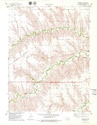
1978 · Beardsley
USGS Topo · 1:24,000
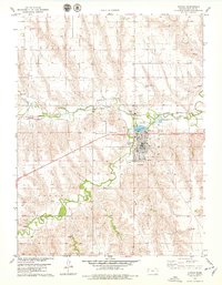
1978 · Atwood
USGS Topo · 1:24,000
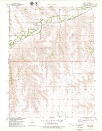
1978 · Ludell
USGS Topo · 1:24,000