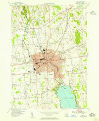
1954 Map of Auburn
USGS Topo · Published 1955About this map
Auburn serves as the industrial and civic anchor of this mid-1950s landscape, with its city boundaries containing a dense network of neighborhoods, schools like West High Sch, and landmarks including City Hall and the Memorial Hospital. The city’s orientation is dictated by the Owasco Outlet, which flows north from Owasco Lake past Melrose Park and through the urban center. This period reflects a mature railway economy, with the Lehigh Valley Railroad cutting through the countryside to the west, serving outlying points like Half Acre Sta. Outside the city, the land transitions into a patchwork of rural crossroads and cemeteries, such as Throopsville Rural Cem and Soule Cemetery, while early modern additions like the Radio Tower (WMBO) and a Drive-in Theater near Sennett signal the era's post-war development and the increasing importance of highway travel.
Find a feature on this map
113 named features on this map. Tap any name to fly to it.
Don’t see what you’re looking for? This feature index may not catch every label — zoom into the map to look around manually.
Map Details
Editions of this 1954 Auburn Map
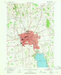
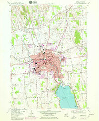
3 editions found
Other maps of this area

1899 · Auburn
USGS Topo · 1:62,500

1899 · Skaneateles
USGS Topo · 1:62,500

1900 · Baldwinsville
USGS Topo · 1:62,500

1902 · Skaneateles
USGS Topo · 1:62,500

1902 · Weedsport
USGS Topo · 1:62,500

1902 · Auburn
USGS Topo · 1:62,500

1943 · Jordan
USGS Topo · 1:31,680

1943 · Montezuma
USGS Topo · 1:31,680

1943 · Cayuga
USGS Topo · 1:31,680

1943 · Owasco
USGS Topo · 1:31,680