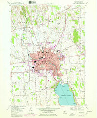
1954 Map of Auburn
USGS Topo · Published 1979About this map
Owasco Lake and its northern drainage through the Owasco Outlet anchor this mid-century topographic survey of central New York. The city of Auburn dominates the landscape, showing its dense grid and significant 1970s expansions into the surrounding townships of Throop, Sennett, Aurelius, and Fleming. The industrial and civic heart of the city is clearly defined by landmarks such as City Hall, Memorial Hospital, and the sprawling Fort Hill Cemetery.
Find a feature on this map
94 named features on this map. Tap any name to fly to it.
Don’t see what you’re looking for? This feature index may not catch every label — zoom into the map to look around manually.
Map Details
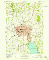
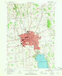
Editions of this 1954 Auburn Map
3 editions found
Other maps of this area

1899 · Auburn
USGS Topo · 1:62,500

1899 · Skaneateles
USGS Topo · 1:62,500

1900 · Baldwinsville
USGS Topo · 1:62,500

1902 · Skaneateles
USGS Topo · 1:62,500

1902 · Weedsport
USGS Topo · 1:62,500

1902 · Auburn
USGS Topo · 1:62,500

1943 · Jordan
USGS Topo · 1:31,680

1943 · Montezuma
USGS Topo · 1:31,680

1943 · Cayuga
USGS Topo · 1:31,680

1943 · Owasco
USGS Topo · 1:31,680