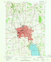
1954 Map of Auburn
USGS Topo · Published 1971About this map
The city of Auburn serves as the dense urban core of this mid-century survey, defined by its historic grid and the presence of the State Prison. The industrial and residential character of the city is shaped by the Owasco Outlet, which winds northwest from Owasco Lake past several municipal landmarks like City Hall and Memorial Hospital. This transition from the lakeside recreation at Highland Beach and Melrose Park to the manufacturing and administrative center of Cayuga County is clearly visible through the concentration of red-tinted buildings.
Find a feature on this map
101 named features on this map. Tap any name to fly to it.
Don’t see what you’re looking for? This feature index may not catch every label — zoom into the map to look around manually.
Map Details
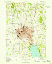
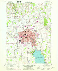
Editions of this 1954 Auburn Map
3 editions found
Other maps of this area

1899 · Auburn
USGS Topo · 1:62,500

1899 · Skaneateles
USGS Topo · 1:62,500

1900 · Baldwinsville
USGS Topo · 1:62,500

1902 · Skaneateles
USGS Topo · 1:62,500

1902 · Weedsport
USGS Topo · 1:62,500

1902 · Auburn
USGS Topo · 1:62,500

1943 · Jordan
USGS Topo · 1:31,680

1943 · Montezuma
USGS Topo · 1:31,680

1943 · Cayuga
USGS Topo · 1:31,680

1943 · Owasco
USGS Topo · 1:31,680