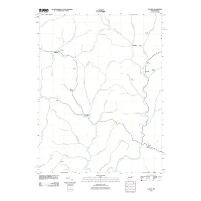
2011 Map of Auburn
USGS Topo · Published 2011About this map
Auburn serves as a primary settlement point at the confluence of Bone Creek and its surrounding forks, anchoring this early 21st-century landscape. The map reveals a deeply etched drainage pattern defined by the Right Fork Bone Creek and the Left Fork Bone Creek, where small family cemeteries like the Lowther Cemetery and Brannon Cemetery are perched on the high ground between winding hollows. To the south, the community of Coxs Mills remains a notable point of activity at the junction of Horn Creek and Coxcamp Fork, preserving its identity through the Coxs Mills Post Office.
Find a feature on this map
77 named features on this map. Tap any name to fly to it.
Don’t see what you’re looking for? This feature index may not catch every label — zoom into the map to look around manually.
Map Details
Editions of this 2011 Auburn Map
This is the sole edition of this map. No revisions or reprints were ever made.
Other maps of this area

1893 · Sutton
USGS Topo · 1:125,000

1904 · Vadis
USGS Topo · 1:62,500

1906 · Holbrook
USGS Topo · 1:62,500

1906 · Glenville
USGS Topo · 1:62,500

1906 · Burnsville
USGS Topo · 1:62,500

1924 · Holbrook
USGS Topo · 1:62,500

1925 · Glenville
USGS Topo · 1:62,500

1925 · Burnsville
USGS Topo · 1:62,500

1925 · Vadis
USGS Topo · 1:62,500

1926 · Holbrook
USGS Topo · 1:62,500