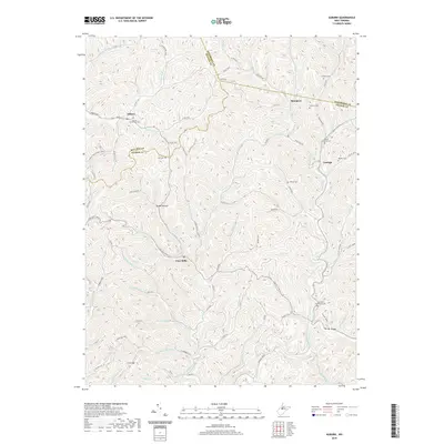
2019 Map of Auburn
USGS Topo · Published 2019About this map
Auburn sits at the northern edge of this West Virginia landscape, where the confluence of Bone Cr and Right Fork Bone Cr dictates the local topography. This region, spanning the borders of Ritchie, Gilmer, and Doddridge counties, is defined by a dense network of high ridges and narrow stream valleys. Settlement patterns follow these watercourses, with small hubs like Coxs Mills and Troy established at significant road junctions and creek bends.
Find a feature on this map
87 named features on this map. Tap any name to fly to it.
Don’t see what you’re looking for? This feature index may not catch every label — zoom into the map to look around manually.
Map Details
Editions of this 2019 Auburn Map
This is the sole edition of this map. No revisions or reprints were ever made.
Other maps of this area

1893 · Sutton
USGS Topo · 1:125,000

1904 · Vadis
USGS Topo · 1:62,500

1906 · Holbrook
USGS Topo · 1:62,500

1906 · Glenville
USGS Topo · 1:62,500

1906 · Burnsville
USGS Topo · 1:62,500

1924 · Holbrook
USGS Topo · 1:62,500

1925 · Glenville
USGS Topo · 1:62,500

1925 · Burnsville
USGS Topo · 1:62,500

1925 · Vadis
USGS Topo · 1:62,500

1926 · Holbrook
USGS Topo · 1:62,500