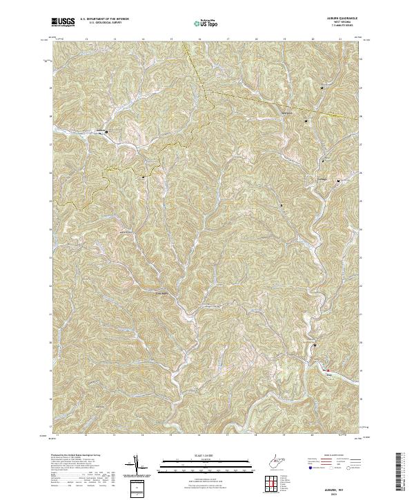
2023 Map of Auburn
USGS Topo · Published 2023About this map
Auburn and Coxs Mills serve as central nodes in this intricate topographic study of the West Virginia highlands, where the borders of Ritchie, Doddridge, and Gilmer counties converge. The landscape is defined by an exceptionally dense dendritic drainage pattern, with countless named waterways such as Bone Creek, Tanner Creek, and Cove Creek carving deep valleys through the terrain. This complex network of runs and forks dictated the placement of early settlements and the winding paths of roads like Co RD 7/25 and Co Rte 8.
Find a feature on this map
74 named features on this map. Tap any name to fly to it.
Don’t see what you’re looking for? This feature index may not catch every label — zoom into the map to look around manually.
Map Details
Editions of this 2023 Auburn Map
This is the sole edition of this map. No revisions or reprints were ever made.
Other maps of this area

1893 · Sutton
USGS Topo · 1:125,000

1904 · Vadis
USGS Topo · 1:62,500

1906 · Holbrook
USGS Topo · 1:62,500

1906 · Glenville
USGS Topo · 1:62,500

1906 · Burnsville
USGS Topo · 1:62,500

1924 · Holbrook
USGS Topo · 1:62,500

1925 · Glenville
USGS Topo · 1:62,500

1925 · Burnsville
USGS Topo · 1:62,500

1925 · Vadis
USGS Topo · 1:62,500

1926 · Holbrook
USGS Topo · 1:62,500