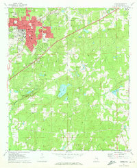
1971 Map of Auburn
USGS Topo · Published 1973About this map
Auburn University dominates the northwestern landscape of this survey, surrounded by the growing residential and academic infrastructure of early 1970s Lee County. The urban footprint of Auburn and Opelika is connected by the Western Railway of Alabama and the Auburn-Opelika Airport, while the southern reaches of the map retain a more rural character defined by agricultural crossroads like Mitchell Crossroads and Wright Crossroads.
Find a feature on this map
36 named features on this map. Tap any name to fly to it.
Don’t see what you’re looking for? This feature index may not catch every label — zoom into the map to look around manually.
Map Details
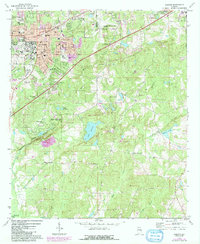
Editions of this 1971 Auburn Map
2 editions found
Other maps of this area

1906 · Dadeville
USGS Topo · 1:125,000

1907 · Opelika
USGS Topo · 1:125,000

1909 · Opelika
USGS Topo · 1:125,000

1955 · Phenix City
USGS Topo · 1:250,000

1957 · Phenix City
USGS Topo · 1:250,000

1958 · Phenix City
USGS Topo · 1:250,000

1970 · Opelika East
USGS Topo · 1:24,000

1971 · Waverly
USGS Topo · 1:24,000

1971 · Parkers Crossroads
USGS Topo · 1:24,000

1971 · Little Texas
USGS Topo · 1:24,000