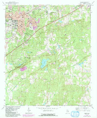
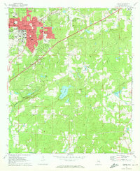
1971 Map of Auburn
USGS Topo · Published 1984About this map
Auburn University sits at the heart of this East Alabama landscape, serving as a focal point for the growing city of Auburn. The map documents a period of transition, where urban expansion, highlighted by purple tinting, meets the established rural character of Lee County. To the south, the expansive Chewacla State Park preserves the area around Chewacla Creek, featuring a notable Quarry and rugged relief. The transport network is defined by the Seaboard Coast Line railroad and the critical corridor of Interchange 51.
Find a feature on this map
70 named features on this map. Tap any name to fly to it.
Don’t see what you’re looking for? This feature index may not catch every label — zoom into the map to look around manually.
Map Details
Editions of this 1971 Auburn Map
2 editions found
Other maps of this area

1906 · Dadeville
USGS Topo · 1:125,000

1907 · Opelika
USGS Topo · 1:125,000

1909 · Opelika
USGS Topo · 1:125,000

1955 · Phenix City
USGS Topo · 1:250,000

1957 · Phenix City
USGS Topo · 1:250,000

1958 · Phenix City
USGS Topo · 1:250,000

1970 · Opelika East
USGS Topo · 1:24,000

1971 · Waverly
USGS Topo · 1:24,000

1971 · Parkers Crossroads
USGS Topo · 1:24,000

1971 · Little Texas
USGS Topo · 1:24,000