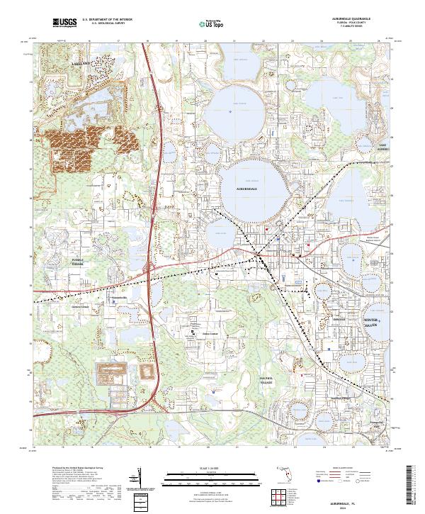
Loading...
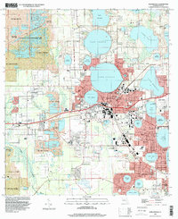
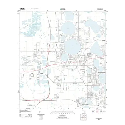
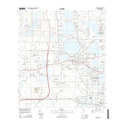
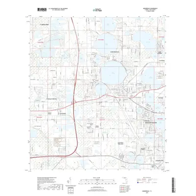
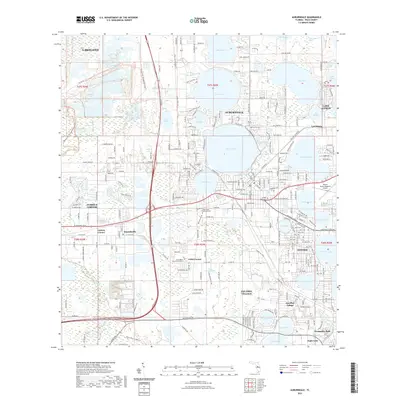
Loading map...1975 Map of Auburndale
USGS Topo · Published 1988About this map
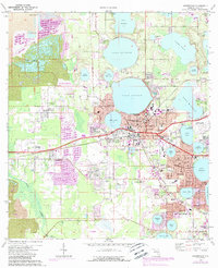
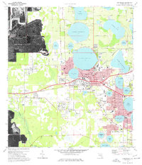
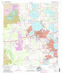
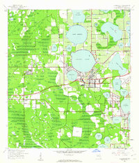
Auburndale and its surrounding lake-dotted landscape are documented here at a time of significant industrial and residential transition. While the urban centers of Winter Haven and Auburndale show expansion in the 1980s, the western portions of the sheet are defined by heavy phosphate mining activity. Numerous strip mines and extensive areas marked as reclaimed strip mine indicate the scale of the region's mineral extraction industry.
Find a feature on this map
88 named features on this map. Tap any name to fly to it.
Don’t see what you’re looking for? This feature index may not catch every label — zoom into the map to look around manually.
Map Details
Date Portrayed1975
Date Published1988
PublisherU.S. Geological Survey
Map TypeTopographic
Scale1:24,000
Physical Dimensions21.9 x 27 inches
Editions of this 1975 Auburndale Map
3 editions found
Historical Maps of Lakeland Through Time
8 maps found
Featured Locations
Source Details
SourceU.S. Geological Survey
CopyrightPublic Domain