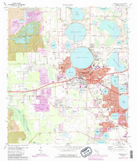
1975 Map of Auburndale
USGS Topo · Published 1988About this map
The phosphate mining industry and the citrus-belt landscape intersect in this mid-1970s survey of Polk County. Extensive Strip Mines and large swaths of Reclaimed Strip Mine land dominate the western half of the map, particularly around Kossuthville and Saddle Creek. This industrial footprint exists alongside a dense network of freshwater lakes, including Lake Ariana, Lake Mariana, and Lake Juliana.
Find a feature on this map
78 named features on this map. Tap any name to fly to it.
Don’t see what you’re looking for? This feature index may not catch every label — zoom into the map to look around manually.
Map Details
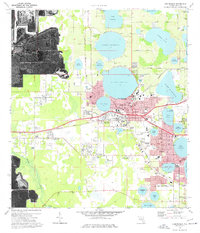
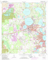
Editions of this 1975 Auburndale Map
3 editions found
Other maps of this area

1944 · Providence
USGS Topo · 1:31,680

1944 · Polk City
USGS Topo · 1:31,680

1944 · Lakeland
USGS Topo · 1:31,680

1944 · Auburndale
USGS Topo · 1:31,680

1949 · Mulberry
USGS Topo · 1:24,000

1949 · Bartow
USGS Topo · 1:24,000

1950 · Mulberry
USGS Topo · 1:24,000

1950 · Bartow
USGS Topo · 1:24,000

1955 · Eloise
USGS Topo · 1:24,000

1955 · Orlando
USGS Topo · 1:250,000