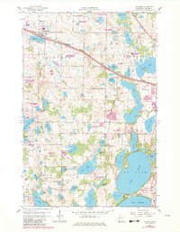
1959 Map of Audubon
USGS Topo · Published 1982About this map
Audubon sits at the northern edge of this landscape, a settlement defined by its position along the Burlington Northern railroad and the shores of Audubon Lake. The surrounding Becker County terrain is a dense network of glacial potholes and larger water bodies, including the massive Sallie Lake and Long Lake. This 1959 survey, updated with late 20th-century revisions, documents the transition between agricultural lands and the growing recreational infrastructure of the lake country.
Find a feature on this map
62 named features on this map. Tap any name to fly to it.
Don’t see what you’re looking for? This feature index may not catch every label — zoom into the map to look around manually.
Map Details
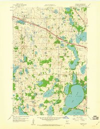
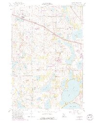
Editions of this 1959 Audubon Map
3 editions found
Other maps of this area

1912 · Vergas
USGS Topo · 1:62,500

1914 · Pelican Rapids
USGS Topo · 1:62,500

1915 · Vergas
USGS Topo · 1:62,500

1917 · Pelican Rapids
USGS Topo · 1:62,500

1953 · Fargo
USGS Topo · 1:250,000

1953 · Brainerd
USGS Topo · 1:250,000

1956 · Fargo
USGS Topo · 1:250,000

1957 · Brainerd
USGS Topo · 1:250,000

1958 · Brainerd
USGS Topo · 1:250,000

1959 · Richwood
USGS Topo · 1:24,000