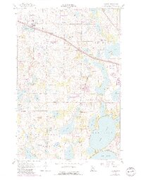
1959 Map of Audubon
USGS Topo · Published 1990About this map
Glacial lakes and production areas define the terrain around Audubon, where the Burlington Northern line cuts across a landscape saturated with water. The area is a mosaic of conservation and early 20th-century community infrastructure, featuring numerous National Waterfowl Production Areas alongside local landmarks like the Detroit Lakes Landing Field and a Drive-in Theater near Long Lake.
Find a feature on this map
62 named features on this map. Tap any name to fly to it.
Don’t see what you’re looking for? This feature index may not catch every label — zoom into the map to look around manually.
Map Details
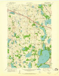
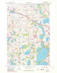
Editions of this 1959 Audubon Map
3 editions found
Other maps of this area

1912 · Vergas
USGS Topo · 1:62,500

1914 · Pelican Rapids
USGS Topo · 1:62,500

1915 · Vergas
USGS Topo · 1:62,500

1917 · Pelican Rapids
USGS Topo · 1:62,500

1953 · Fargo
USGS Topo · 1:250,000

1953 · Brainerd
USGS Topo · 1:250,000

1956 · Fargo
USGS Topo · 1:250,000

1957 · Brainerd
USGS Topo · 1:250,000

1958 · Brainerd
USGS Topo · 1:250,000

1959 · Richwood
USGS Topo · 1:24,000