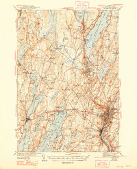
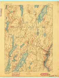
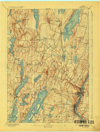
1892 Map of Augusta
USGS Topo · Published 1892About this map
The Kennebec River corridor defines the industrial and civic heart of this region, where the state capital of Augusta and the neighboring city of Hallowell sit along its western banks. At this stage in the late nineteenth century, the landscape is a network of water and rail, with the Maine Central Railroad serving as a vital artery through the interior. The line connects small rural hubs like Readfield Depot and Winthrop to the larger riverfront markets, facilitating the movement of goods and passengers between the capital and the lake districts to the north.
Find a feature on this map
55 named features on this map. Tap any name to fly to it.
Don’t see what you’re looking for? This feature index may not catch every label — zoom into the map to look around manually.
Map Details
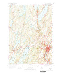
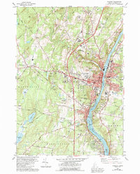
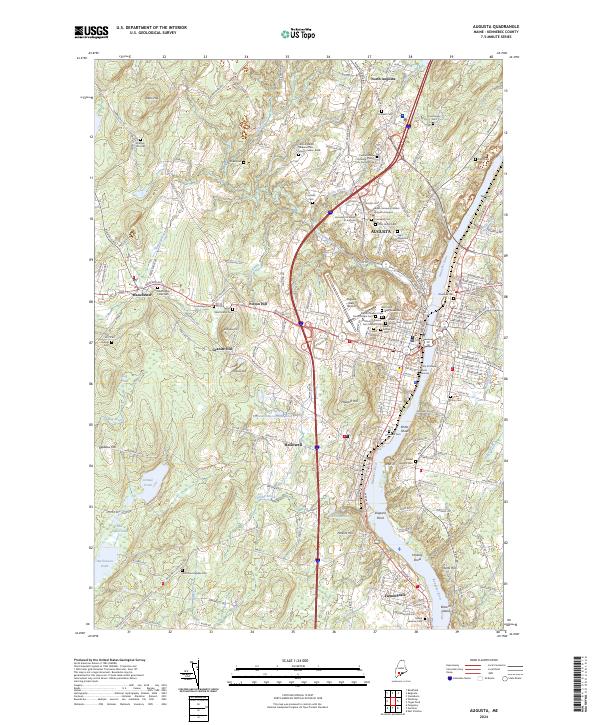
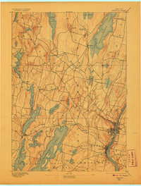
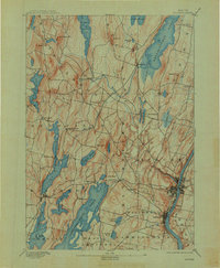
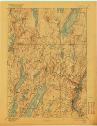
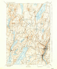
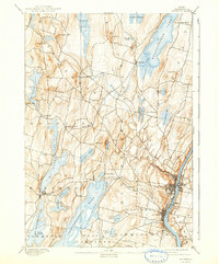
Editions of this 1892 Augusta Map
8 editions found
Historical Maps of Pelton Hill Through Time
7 maps found