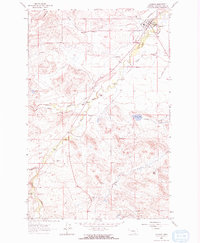
1963 Map of Augusta
USGS Topo · Published 1965About this map
Augusta sits at the northeastern edge of this ranching landscape, where the Great Northern railway terminates near the Augusta Cem and the local Rodeo Ground. This 1963 survey illustrates a highly managed water system essential for the region's livestock economy, featuring the Florence Canal, Vaughn Ditch, and Mosher Ditch which divert water across the drainage of Elk Creek and Smith Creek.
Find a feature on this map
34 named features on this map. Tap any name to fly to it.
Don’t see what you’re looking for? This feature index may not catch every label — zoom into the map to look around manually.
Map Details
Editions of this 1963 Augusta Map
2 editions found
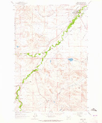
Other maps of this area

1903 · Saypo
USGS Topo · 1:125,000

1903 · Coopers Lake
USGS Topo · 1:125,000

1920 · Choteau
USGS Topo · 1:125,000

1943 · Hogan
USGS Topo · 1:125,000

1955 · Choteau
USGS Topo · 1:250,000

1957 · Choteau
USGS Topo · 1:250,000

1958 · Choteau
USGS Topo · 1:250,000

1958 · Barr Creek
USGS Topo · 1:24,000

1960 · Gilman
USGS Topo · 1:62,500

1962 · Choteau
USGS Topo · 1:250,000