
1946 Map of Augusta
USGS Topo · Published 1957About this map
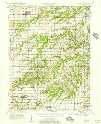
Augusta and Clayton anchor this mid-century landscape where Hancock, Adams, Schuyler, and Brown counties converge. The terrain is defined by the winding course of the La Moine River in the northeast and the complex drainage of Missouri Creek and Flour Creek. Transport networks are central to the area's development, evidenced by the Chicago Burlington and Quincy railroad line serving Augusta and the Wabash RR passing through Clayton and Mound Station.
Find a feature on this map
95 named features on this map. Tap any name to fly to it.
Don’t see what you’re looking for? This feature index may not catch every label — zoom into the map to look around manually.
Map Details
Editions of this 1946 Augusta Map
2 editions found
Other maps of this area

1912 · Macomb
USGS Topo · 1:62,500

1913 · Colchester
USGS Topo · 1:62,500

1914 · Macomb
USGS Topo · 1:62,500

1923 · Rushville
USGS Topo · 1:62,500

1925 · Liberty
USGS Topo · 1:62,500

1926 · Rushville
USGS Topo · 1:62,500

1926 · Mt Sterling
USGS Topo · 1:62,500

1927 · Liberty
USGS Topo · 1:62,500

1928 · Meredosia
USGS Topo · 1:62,500

1929 · Mt Sterling
USGS Topo · 1:62,500