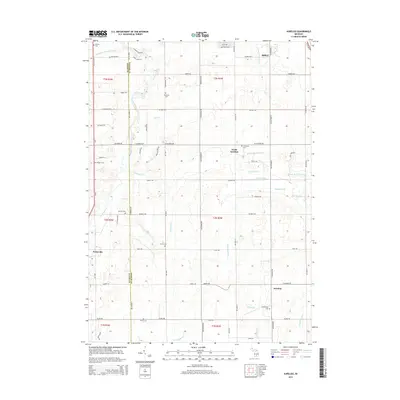
2014 Map of Aurelius
USGS Topo · Published 2014About this map
The Grand River snakes through the western portion of this rural landscape, marking the transition between Ingham and Eaton counties. The terrain is characterized by a dense network of agricultural drainage systems including the Skinner Extension Drain, Columbia Cr, and the West Br Willow Cr, which support the fertile farmland surrounding the central settlement of North Aurelius. This area maintains a strong connection to its pioneer history through numerous small family and community burial grounds scattered across the township, such as Skinner Cem in the north and Plains Cem to the south.
Find a feature on this map
84 named features on this map. Tap any name to fly to it.
Don’t see what you’re looking for? This feature index may not catch every label — zoom into the map to look around manually.
Map Details
Editions of this 2014 Aurelius Map
This is the sole edition of this map. No revisions or reprints were ever made.
Other maps of this area

1909 · Mason
USGS Topo · 1:62,500

1910 · Lansing
USGS Topo · 1:62,500

1911 · Mason
USGS Topo · 1:62,500

1912 · Lansing
USGS Topo · 1:62,500

1919 · Springport
USGS Topo · 1:62,500

1919 · Rives Junction
USGS Topo · 1:62,500

1921 · Rives Junction
USGS Topo · 1:62,500

1921 · Springport
USGS Topo · 1:62,500

1958 · Grand Rapids
USGS Topo · 1:250,000

1961 · Grand Rapids
USGS Topo · 1:250,000