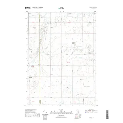
2019 Map of Aurelius
USGS Topo · Published 2019About this map
Aurelius and North Aurelius serve as central nodes in this rural Michigan landscape, where agricultural land is partitioned by an extensive network of drainage channels. The Grand River winds through the western edge of the township, joined by smaller tributaries like Hart Br and Columbia Cr. The map's heavy reliance on named drainage systems, such as the Cook and Thorburn Drain and Wright and Potter Drain, highlights the engineering required to manage the area's hydrology for farming. Scattered throughout the townships of Ingham and Eaton counties are numerous family and community burial sites, including Skinner Cem, Markham Cem, and Greenwood Cem. This 2019 survey also documents modern recreational use, featuring the Mountain Bike Trail and Burchfield Park near the river's bend.
Find a feature on this map
85 named features on this map. Tap any name to fly to it.
Don’t see what you’re looking for? This feature index may not catch every label — zoom into the map to look around manually.
Map Details
Editions of this 2019 Aurelius Map
This is the sole edition of this map. No revisions or reprints were ever made.
Other maps of this area

1909 · Mason
USGS Topo · 1:62,500

1910 · Lansing
USGS Topo · 1:62,500

1911 · Mason
USGS Topo · 1:62,500

1912 · Lansing
USGS Topo · 1:62,500

1919 · Springport
USGS Topo · 1:62,500

1919 · Rives Junction
USGS Topo · 1:62,500

1921 · Rives Junction
USGS Topo · 1:62,500

1921 · Springport
USGS Topo · 1:62,500

1958 · Grand Rapids
USGS Topo · 1:250,000

1961 · Grand Rapids
USGS Topo · 1:250,000