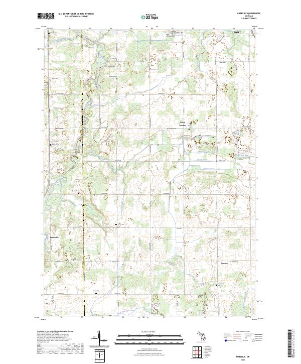
2023 Map of Aurelius
USGS Topo · Published 2023About this map
The Grand River snakes through the western edge of this Ingham County landscape, defining the rural character of communities like Petrieville and Aurelius. This modern mapping captures a high density of ancestral burial grounds, including the North Aurelius Cem, Markham Cem, and Greenwood Cem, which serve as primary anchors for genealogical research in the township. The terrain is marked by an extensive network of managed water drainage, such as the West Aurelius Drain and Wright and Potter Drain, illustrating the region's long-standing agricultural focus.
Find a feature on this map
91 named features on this map. Tap any name to fly to it.
Don’t see what you’re looking for? This feature index may not catch every label — zoom into the map to look around manually.
Map Details
Editions of this 2023 Aurelius Map
This is the sole edition of this map. No revisions or reprints were ever made.
Historical Maps of Petrieville Through Time
10 maps found

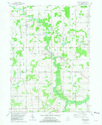
1965 Aurelius
Ingham County, MI
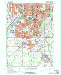
1965 Lansing South
Ingham County, MI
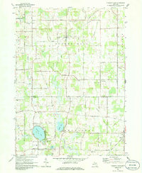
1970 Pleasant Lake
Ingham County, MI
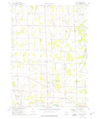
1973 Millville
Ingham County, MI
1981 Onondaga
Ingham County, MI
2023 Aurelius
Ingham County, MI
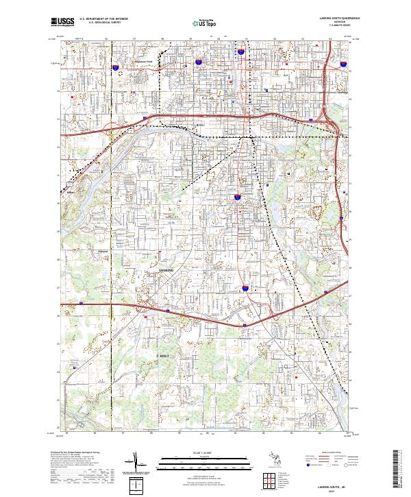
2023 Lansing South
Ingham County, MI
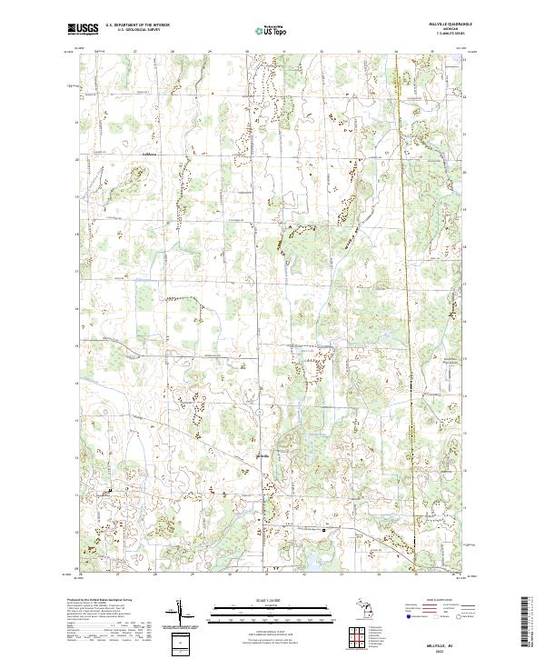
2023 Millville
Ingham County, MI
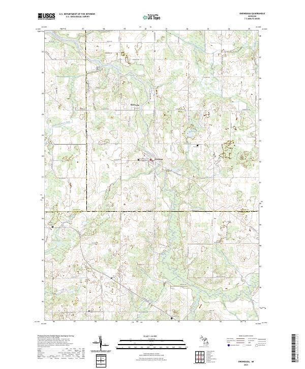
2023 Onondaga
Ingham County, MI
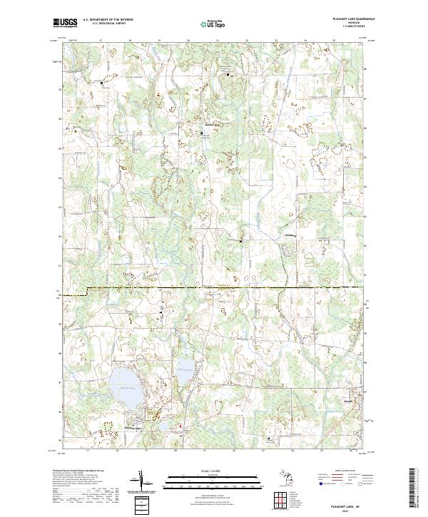
2023 Pleasant Lake
Ingham County, MI
Featured Locations
- Delhi Charter Township, MI
- Windsor Charter Township, MI
- Eaton Rapids Township, MI
- Hamlin Township, MI
- Aurelius, Aurelius Township