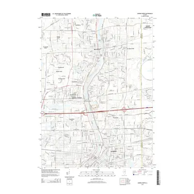
2015 Map of Aurora North
USGS Topo · Published 2015About this map
The Fox River serves as the central spine of this landscape, carving through the Fox River Valley and creating a series of distinctive islands including Duck Island, Clark Island, North Aurora Island, Spiers Island, and the urbanized Stolp Island. This mid-2010s survey captures the dense development connecting Aurora, North Aurora, Batavia, and Geneva along the Kane and DuPage County line. The map is a valuable resource for genealogists, documenting a high density of burial grounds such as West Aurora Cemetery, East Aurora Cemetery, and the Marywood Catholic Cemetery. Academic and institutional landmarks are prominent, from Aurora University and Rasmussen College-Aurora to the community at Mooseheart. Residential growth is evident in named subdivisions like Exposition View, Randall Hills, and Wenmoth Acres, which reflect the suburban character of the region during this period.
Find a feature on this map
64 named features on this map. Tap any name to fly to it.
Don’t see what you’re looking for? This feature index may not catch every label — zoom into the map to look around manually.
Map Details
Editions of this 2015 Aurora North Map
This is the sole edition of this map. No revisions or reprints were ever made.
Other maps of this area

1892 · Joliet
USGS Topo · 1:62,500

1908 · Wheaton
USGS Topo · 1:62,500

1923 · Joliet
USGS Topo · 1:62,500

1925 · Yorkville
USGS Topo · 1:62,500

1932 · Geneva
USGS Topo · 1:62,500

1948 · Wheaton
USGS Topo · 1:62,500

1948 · Geneva
USGS Topo · 1:62,500

1949 · Geneva
USGS Topo · 1:24,000

1950 · Aurora North
USGS Topo · 1:24,000

1953 · Naperville
USGS Topo · 1:24,000