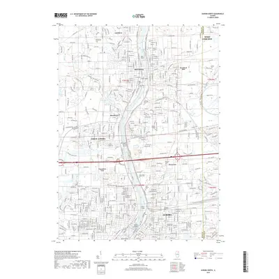
2018 Map of Aurora North
USGS Topo · Published 2018About this map
The Fox River corridor serves as the industrial and social backbone for this section of northern Illinois, flowing through the hearts of Aurora, North Aurora, Batavia, and Geneva. A series of distinctive river islands, including Stolp Island in downtown Aurora and North Aurora Island, reflect the dense urban development along the water's edge. The 2018 landscape is characterized by a mix of historic settlement and significant institutional presence, such as Aurora Univ and the sprawling campus of Mooseheart. Local history is deeply etched into the geography through numerous burial grounds like Resurrection Catholic Cem and West Aurora Cem. Meanwhile, recreational and natural features like the Illinois Prairie Path, Peck Lake, and Nelson Lake provide a counterpoint to the residential expansion and commercial corridors like Butterfield Rd.
Find a feature on this map
69 named features on this map. Tap any name to fly to it.
Don’t see what you’re looking for? This feature index may not catch every label — zoom into the map to look around manually.
Map Details
Editions of this 2018 Aurora North Map
This is the sole edition of this map. No revisions or reprints were ever made.
Other maps of this area

1892 · Joliet
USGS Topo · 1:62,500

1908 · Wheaton
USGS Topo · 1:62,500

1923 · Joliet
USGS Topo · 1:62,500

1925 · Yorkville
USGS Topo · 1:62,500

1932 · Geneva
USGS Topo · 1:62,500

1948 · Wheaton
USGS Topo · 1:62,500

1948 · Geneva
USGS Topo · 1:62,500

1949 · Geneva
USGS Topo · 1:24,000

1950 · Aurora North
USGS Topo · 1:24,000

1953 · Naperville
USGS Topo · 1:24,000