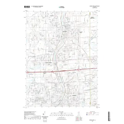
2021 Map of Aurora North
USGS Topo · Published 2021About this map
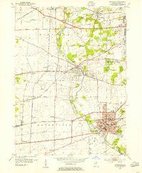
The Fox River corridor serves as the primary axis for this survey of the Fox Valley, detailing the closely linked communities of Geneva, Batavia, and Aurora during a period of modern suburban density. The river's character is defined by several notable landforms, including Stolp Island in the heart of Aurora, Spiers Island, and North Aurora Island. These areas reflect a complex history of urban planning and industrial development situated along the waterway.
Find a feature on this map
251 named features on this map. Tap any name to fly to it.
Don’t see what you’re looking for? This feature index may not catch every label — zoom into the map to look around manually.
Map Details
Editions of this 2021 Aurora North Map
This is the sole edition of this map. No revisions or reprints were ever made.
Other maps of this area

1892 · Joliet
USGS Topo · 1:62,500

1908 · Wheaton
USGS Topo · 1:62,500
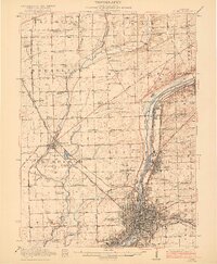
1923 · Joliet
USGS Topo · 1:62,500
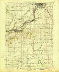
1925 · Yorkville
USGS Topo · 1:62,500
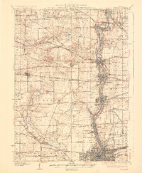
1932 · Geneva
USGS Topo · 1:62,500
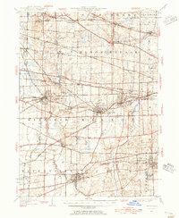
1948 · Wheaton
USGS Topo · 1:62,500
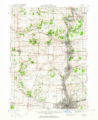
1948 · Geneva
USGS Topo · 1:62,500
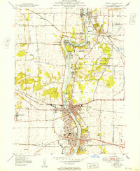
1949 · Geneva
USGS Topo · 1:24,000
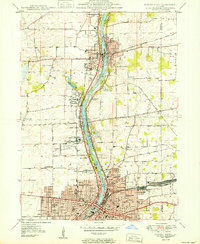
1950 · Aurora North
USGS Topo · 1:24,000
1953 · Naperville
USGS Topo · 1:24,000