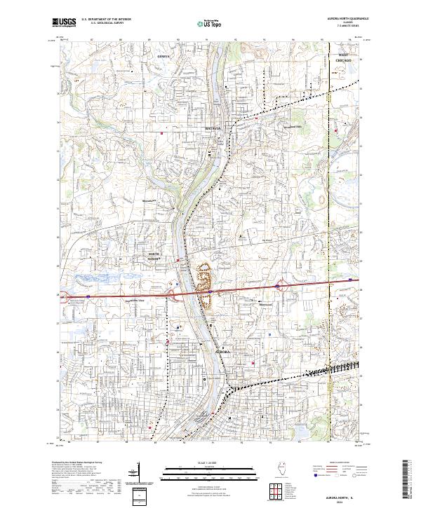
2024 Map of Aurora North
USGS Topo · Published 2024About this map
The Fox River corridor serves as the primary structural element of this Illinois landscape, anchoring a chain of industrial and residential developments. Moving downstream from Geneva through Batavia and North Aurora to the city of Aurora, the river's path is punctuated by significant islands, including Duck Island, Clark Island, North Aurora Island, and Stolp Island. This survey captures the dense network of cemeteries that serve these communities, such as East Batavia Cem and Saint Joseph Cem, reflecting generations of local family history and settlement.
Find a feature on this map
81 named features on this map. Tap any name to fly to it.
Don’t see what you’re looking for? This feature index may not catch every label — zoom into the map to look around manually.
Map Details
Editions of this 2024 Aurora North Map
This is the sole edition of this map. No revisions or reprints were ever made.
Other maps of this area

1892 · Joliet
USGS Topo · 1:62,500

1908 · Wheaton
USGS Topo · 1:62,500

1923 · Joliet
USGS Topo · 1:62,500

1925 · Yorkville
USGS Topo · 1:62,500

1932 · Geneva
USGS Topo · 1:62,500

1948 · Wheaton
USGS Topo · 1:62,500

1948 · Geneva
USGS Topo · 1:62,500

1949 · Geneva
USGS Topo · 1:24,000

1950 · Aurora North
USGS Topo · 1:24,000

1953 · Naperville
USGS Topo · 1:24,000