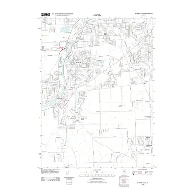
2012 Map of Aurora South
USGS Topo · Published 2012About this map
The Fox River corridor anchors this portrait of suburban expansion and historical preservation south of Aurora. The area around Oswego and Montgomery is marked by a high concentration of established burial grounds, including Riverside Cem, Oswego Township Cem, and the Mount Olivet Catholic Cem, which serve as vital touchstones for local genealogical research. These sites sit alongside modern developments like Boulder Hill and Hunters Ridge, illustrating the shift from agrarian roots to residential growth.
Find a feature on this map
50 named features on this map. Tap any name to fly to it.
Don’t see what you’re looking for? This feature index may not catch every label — zoom into the map to look around manually.
Map Details
Editions of this 2012 Aurora South Map
This is the sole edition of this map. No revisions or reprints were ever made.
Other maps of this area

1892 · Joliet
USGS Topo · 1:62,500

1908 · Wheaton
USGS Topo · 1:62,500

1923 · Joliet
USGS Topo · 1:62,500

1925 · Yorkville
USGS Topo · 1:62,500

1932 · Geneva
USGS Topo · 1:62,500

1948 · Wheaton
USGS Topo · 1:62,500

1948 · Geneva
USGS Topo · 1:62,500

1950 · Aurora North
USGS Topo · 1:24,000

1953 · Plattville
USGS Topo · 1:24,000

1953 · Naperville
USGS Topo · 1:24,000