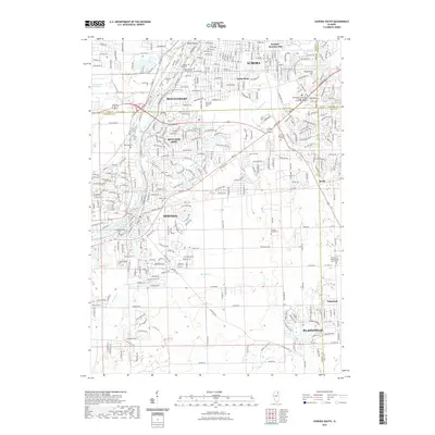
2021 Map of Aurora South
USGS Topo · Published 2021About this map
The Fox River corridor serves as the primary developmental axis in this modern survey, anchoring the riverside settlements of Montgomery and Oswego. The landscape is a complex intersection of suburban expansion and long-standing local landmarks, where the BNSF Railway cuts through established neighborhoods and industrial zones like Scraper-Moecherville. Genealogists and local historians will find a high concentration of burial sites, including Mount Olivet Catholic Cem, Oswego Township Cem, and the Wheatland Presbyterian Church Cem further east.
Find a feature on this map
266 named features on this map. Tap any name to fly to it.
Don’t see what you’re looking for? This feature index may not catch every label — zoom into the map to look around manually.
Map Details
Editions of this 2021 Aurora South Map
This is the sole edition of this map. No revisions or reprints were ever made.
Other maps of this area

1892 · Joliet
USGS Topo · 1:62,500

1908 · Wheaton
USGS Topo · 1:62,500

1923 · Joliet
USGS Topo · 1:62,500

1925 · Yorkville
USGS Topo · 1:62,500

1932 · Geneva
USGS Topo · 1:62,500

1948 · Wheaton
USGS Topo · 1:62,500

1948 · Geneva
USGS Topo · 1:62,500

1950 · Aurora North
USGS Topo · 1:24,000

1953 · Plattville
USGS Topo · 1:24,000

1953 · Naperville
USGS Topo · 1:24,000