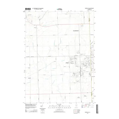
2024 Map of Aurora South
USGS Topo · Published 2024About this map
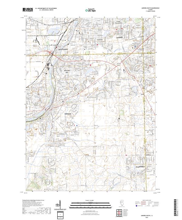
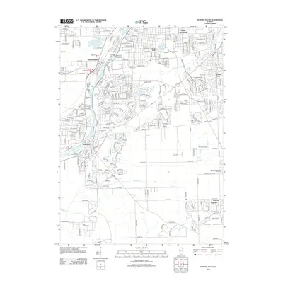
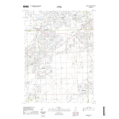
The Fox River corridor anchors this modern topographic survey, tracing the suburban development and preserved history where the Fox Valley meets the Illinois prairie. The dense residential patterns of Aurora, Montgomery, and Oswego are clearly defined against the remaining open lands of the south. Local history is exceptionally well-preserved through numerous burial grounds, including the Oswego Township Cem, Mount Olivet Catholic Cem, and the Wormley Cem.
Find a feature on this map
41 named features on this map. Tap any name to fly to it.
Don’t see what you’re looking for? This feature index may not catch every label — zoom into the map to look around manually.
Map Details
Editions of this 2024 Aurora South Map
This is the sole edition of this map. No revisions or reprints were ever made.
Historical Maps of Aurora Through Time
15 maps found
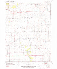
1953 Yorkville SE
Kendall County, IL
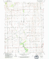
1954 Aurora South
Kendall County, IL
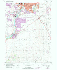
1993 Aurora South
Kendall County, IL
1993 Yorkville SE
Kendall County, IL
2012 Aurora South
Kendall County, IL
2012 Yorkville SE
Kendall County, IL
2015 Aurora South
Kendall County, IL
2015 Yorkville SE
Kendall County, IL

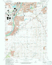
2018 Aurora South
Kendall County, IL
2018 Yorkville SE
Kendall County, IL
2021 Aurora South
Kendall County, IL
2021 Yorkville SE
Kendall County, IL
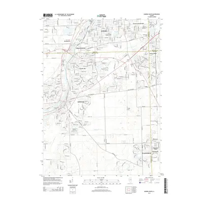
2023 Aurora South
Kendall County, IL
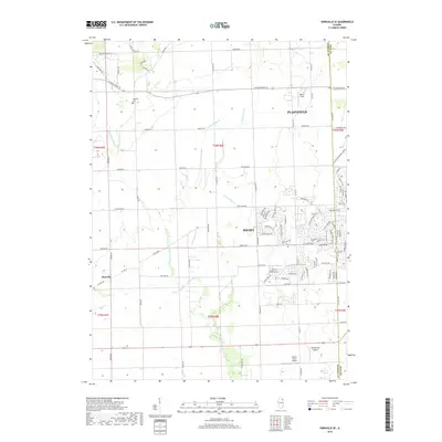
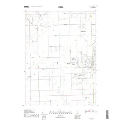
2024 Aurora South
Kendall County, IL
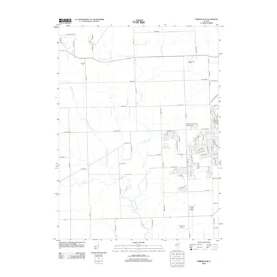
2024 Yorkville SE
Kendall County, IL