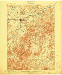
1903 Map of Ausable
USGS Topo · Published 1909About this map
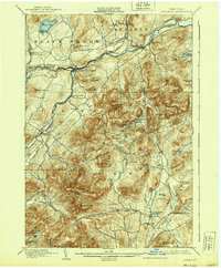
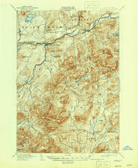
The Ausable Forks junction serves as the primary hub of this turn-of-the-century landscape, where the east and west branches of the Ausable River converge. This 1903 edition reveals a transition from industrial activity to highland settlement, most notably seen at Towers Forge and the small hamlets of Clintonville and Rogers. The D. and H. C. Co. R. R. follows the river valley, providing a critical rail link for the iron and timber interests at Arnold Hill and Palmer Hill. To the south, the topography rises sharply into Jay Mountain and the prominent Pokamoonshine Mt., while lower elevations are marked by unique features like Merriam Swamp and the narrow pass of Bald Mtn. The Gulf. The map records an era when mountain brooks, such as Styles Brook and O'Connell Br., were the lifeblood of local agriculture and small mills.
Find a feature on this map
91 named features on this map. Tap any name to fly to it.
Don’t see what you’re looking for? This feature index may not catch every label — zoom into the map to look around manually.
Map Details
Editions of this 1903 Ausable Map
7 editions found

Other maps of this area

1894 · Elizabethtown
USGS Topo · 1:62,500

1894 · Port Henry
USGS Topo · 1:62,500

1894 · Plattsburg
USGS Topo · 1:62,500

1895 · Willsboro
USGS Topo · 1:62,500

1895 · Elizabethtown
USGS Topo · 1:62,500

1895 · Mt. Marcy
USGS Topo · 1:62,500

1895 · Ausable
USGS Topo · 1:62,500

1896 · Lake Placid
USGS Topo · 1:62,500

1898 · Port Henry
USGS Topo · 1:62,500

1898 · Lake Placid
USGS Topo · 1:62,500