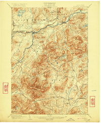
1903 Map of Ausable
USGS Topo · Published 1922About this map
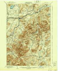
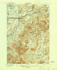
Ausable Forks serves as the central hub of this Adirondack region, where the West Branch Ausable River and East Branch Ausable River converge. The landscape is defined by its deep industrial roots, notably at Towers Forge and the mining clusters of Arnold Hill and Palmer Hill. The D. and H. RR snakes through the northern river valley, connecting the settlements of Rogers and Clintonville to broader markets. High elevation features like Jay Mountain and the distinctive Pokamoonshine Mt. tower over the valley floor, while numerous water bodies such as Fern Lake and Augur Lake dot the upper terrain. The distribution of small settlements like Ferrona and Rome against the steep rise of Ragged Mountain and Baldface Mtn. illustrates the era's reliance on river valley transit and mountain-side extraction.
Find a feature on this map
74 named features on this map. Tap any name to fly to it.
Don’t see what you’re looking for? This feature index may not catch every label — zoom into the map to look around manually.
Map Details
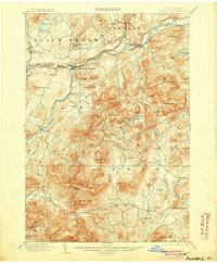
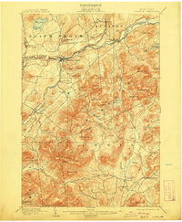
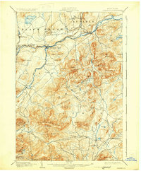
Editions of this 1903 Ausable Map
7 editions found

Other maps of this area

1894 · Elizabethtown
USGS Topo · 1:62,500

1894 · Port Henry
USGS Topo · 1:62,500

1894 · Plattsburg
USGS Topo · 1:62,500

1895 · Willsboro
USGS Topo · 1:62,500

1895 · Elizabethtown
USGS Topo · 1:62,500

1895 · Mt. Marcy
USGS Topo · 1:62,500

1895 · Ausable
USGS Topo · 1:62,500

1896 · Lake Placid
USGS Topo · 1:62,500

1898 · Port Henry
USGS Topo · 1:62,500

1898 · Lake Placid
USGS Topo · 1:62,500