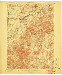
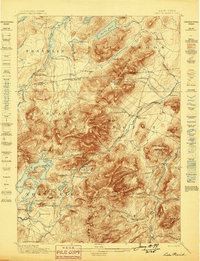
1903 Map of Ausable
USGS Topo · Published 1903About this map
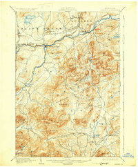
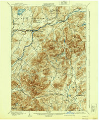
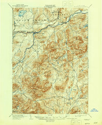
The Ausable River forms the geographic spine of this survey, where the West Branch and East Branch converge at the industrial hub of Ausable Forks. The landscape is defined by the transition from river-valley settlements to high Adirondack peaks, including the prominent Pokamoonshine Mt. and Jay Mountain. Early 20th-century transportation is anchored by the D. and H. C. Co. R. R., which follows the river's path to serve hamlets like Rogers and Clintonville.
Find a feature on this map
72 named features on this map. Tap any name to fly to it.
Don’t see what you’re looking for? This feature index may not catch every label — zoom into the map to look around manually.
Map Details
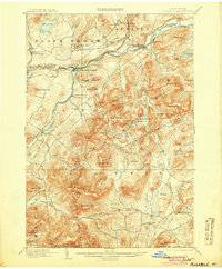
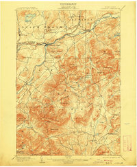
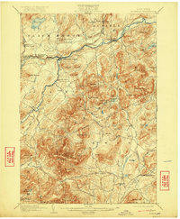
Editions of this 1903 Ausable Map
7 editions found
Other maps of this area
1894 · Elizabethtown
USGS Topo · 1:62,500
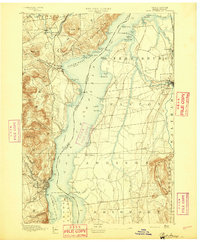
1894 · Port Henry
USGS Topo · 1:62,500
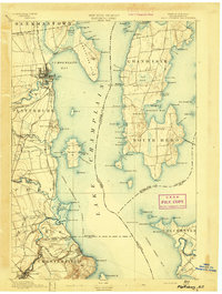
1894 · Plattsburg
USGS Topo · 1:62,500
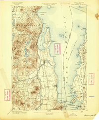
1895 · Willsboro
USGS Topo · 1:62,500
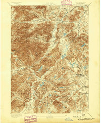
1895 · Elizabethtown
USGS Topo · 1:62,500
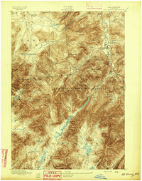
1895 · Mt. Marcy
USGS Topo · 1:62,500
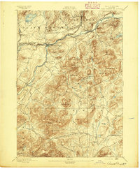
1895 · Ausable
USGS Topo · 1:62,500
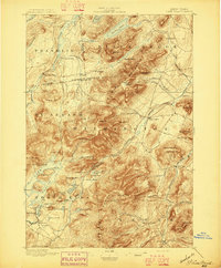
1896 · Lake Placid
USGS Topo · 1:62,500
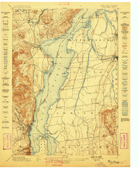
1898 · Port Henry
USGS Topo · 1:62,500
1898 · Lake Placid
USGS Topo · 1:62,500