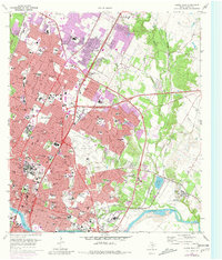
1966 Map of Austin East
USGS Topo · Published 1981About this map
The State Capitol and the surrounding urban core of Austin dominate this 1966 landscape, captured just before the dramatic vertical growth of the late 20th century. This survey reveals a city still defined by its mid-century civic and educational institutions, including the sprawling campus of Huston-Tillotson College and the landmark Texas School for the Blind. To the east, the Robert Mueller Municipal Airport remains a central hub of activity, its runways and terminals situated long before its eventual transformation into a modern residential district.
Find a feature on this map
120 named features on this map. Tap any name to fly to it.
Don’t see what you’re looking for? This feature index may not catch every label — zoom into the map to look around manually.
Map Details
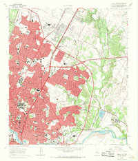
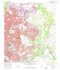
Editions of this 1966 Austin East Map
Other maps of this area

1896 · Austin
USGS Topo · 1:125,000

1897 · Austin
USGS Topo · 1:125,000

1910 · Austin
USGS Topo · 1:125,000

1932 · Mt. Bonnell
USGS Topo · 1:62,500

1954 · Austin East
USGS Topo · 1:24,000

1954 · Austin West
USGS Topo · 1:24,000

1954 · Austin
USGS Topo · 1:250,000

1955 · Montopolis
USGS Topo · 1:24,000

1955 · Oak Hill
USGS Topo · 1:24,000

1955 · Montopolis
USGS Topo · 1:62,500