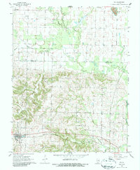
1968 Map of Ava
USGS Topo · Published 1986About this map
Ava sits at the intersection of local life and regional transit in the late 1960s, serving as a focal point for this Southern Illinois landscape. The Gulf Mobile and Ohio railroad cuts across the southern portion of the quadrangle, passing through town and near Bower Park. The terrain is defined by the winding paths of Galum Creek and Beaucoup Creek, which frame a region heavily marked by agricultural and family history.
Find a feature on this map
30 named features on this map. Tap any name to fly to it.
Don’t see what you’re looking for? This feature index may not catch every label — zoom into the map to look around manually.
Map Details
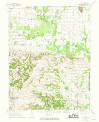
Editions of this 1968 Ava Map
2 editions found
Other maps of this area

1910 · Murphysboro
USGS Topo · 1:62,500

1914 · Coulterville
USGS Topo · 1:62,500

1916 · Campbell Hill
USGS Topo · 1:62,500

1917 · Coulterville
USGS Topo · 1:62,500

1918 · Campbell Hill
USGS Topo · 1:62,500

1924 · Pinckneyville
USGS Topo · 1:62,500

1926 · Pinckneyville
USGS Topo · 1:62,500

1938 · Murphysboro
USGS Topo · 1:62,500

1949 · Paducah
USGS Topo · 1:250,000

1950 · Paducah
USGS Topo · 1:250,000