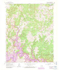
1966 Map of Avant NW
USGS Topo · Published 1983About this map
Avant Oil Field and the neighboring South Barnsdall Oil Field dominate this portion of the Osage Nation, where petroleum extraction defines the industrial footprint. The landscape is carved by the deep Cedar Canyon and numerous drainages including Bull Creek and Clem Creek. This particular 1983 edition is significant for its purple revisions, which indicate the planned inundation of the valley floor. Large swaths of land near Wildhorse Creek are hatched to show areas to be submerged by the creation of Skiatook Lake, marking a permanent shift from a creek-bottom landscape to a reservoir environment. Researchers can find the boundaries of Bigheart and Black Dog townships alongside localized features like a Quarry and various scattered oil wells that trace the region's economic history.
Find a feature on this map
21 named features on this map. Tap any name to fly to it.
Don’t see what you’re looking for? This feature index may not catch every label — zoom into the map to look around manually.
Map Details
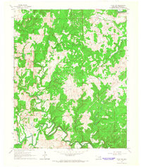
Editions of this 1966 Avant NW Map
2 editions found
Other maps of this area

1909 · Pawhuska
USGS Topo · 1:125,000

1910 · Pawhuska
USGS Topo · 1:125,000

1912 · Hominy
USGS Topo · 1:125,000

1915 · Hominy
USGS Topo · 1:125,000

1915 · Hominy
USGS Topo · 1:62,500

1955 · Enid
USGS Topo · 1:250,000

1958 · Enid
USGS Topo · 1:250,000
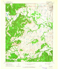
1963 · Avant SE
USGS Topo · 1:24,000

1964 · Barnsdall
USGS Topo · 1:24,000
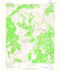
1964 · Wynona
USGS Topo · 1:24,000