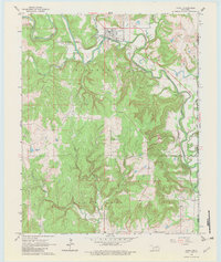
1966 Map of Avant
USGS Topo · Published 1983About this map
The town of Avant occupies a bend in Bird Creek where the Midland Valley corridor provides a natural path through the hills of Osage County. Surveyed in the mid-1960s, this landscape is defined by the high ground of Bigheart and Black Dog, which dominate the central and southern portions of the quadrangle. These names, along with the nearby Javine area, reflect the deep indigenous heritage of the region.
Find a feature on this map
25 named features on this map. Tap any name to fly to it.
Don’t see what you’re looking for? This feature index may not catch every label — zoom into the map to look around manually.
Map Details
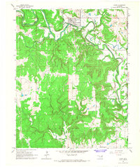
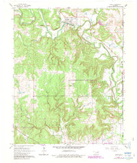
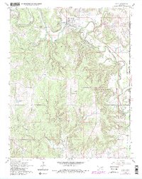
Editions of this 1966 Avant Map
4 editions found
Other maps of this area

1901 · Claremore
USGS Topo · 1:125,000

1901 · Nowata
USGS Topo · 1:125,000

1909 · Pawhuska
USGS Topo · 1:125,000

1910 · Pawhuska
USGS Topo · 1:125,000

1912 · Hominy
USGS Topo · 1:125,000

1914 · Nowata
USGS Topo · 1:125,000

1914 · Claremore
USGS Topo · 1:125,000

1915 · Hominy
USGS Topo · 1:125,000

1916 · Claremore
USGS Topo · 1:125,000

1954 · Tulsa
USGS Topo · 1:250,000