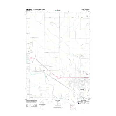
2011 Map of Averill
USGS Topo · Published 2011About this map
The Tittabawassee River flows through this portion of Michigan, serving as the southern anchor for the growing city of Midland. In this 2011 survey, the transition from urban to rural is marked by the presence of large institutional footprints, including the campus of Northwood University and the Midland County Fairgrounds. To the west, the settlement of Averill sits near the riverbanks, while the northern reaches of the quadrangle are defined by the small community of Bombay and its surrounding agricultural grid.
Find a feature on this map
80 named features on this map. Tap any name to fly to it.
Don’t see what you’re looking for? This feature index may not catch every label — zoom into the map to look around manually.
Map Details
Editions of this 2011 Averill Map
This is the sole edition of this map. No revisions or reprints were ever made.
Other maps of this area

1934 · Sanford
USGS Topo · 1:62,500

1936 · Sanford
USGS Topo · 1:62,500

1954 · Midland
USGS Topo · 1:250,000

1958 · Midland
USGS Topo · 1:250,000

1959 · Midland
USGS Topo · 1:250,000

1962 · Midland South
USGS Topo · 1:24,000

1962 · Midland North
USGS Topo · 1:24,000

1966 · Midland
USGS Topo · 1:250,000
1969 · Hope
USGS Topo · 1:24,000
1969 · Edenville
USGS Topo · 1:24,000