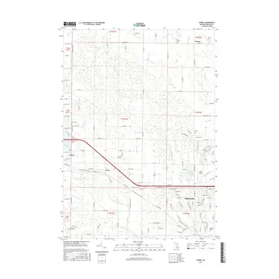
2017 Map of Averill
USGS Topo · Published 2017About this map
The Tittabawassee River flows through this corner of Midland County, anchoring a landscape where the urban expansion of Midland meets rural townships and managed woodlands. This modern survey illustrates the contemporary layout of the city's northwestern reaches, including the campus of Northwood Univ and the recreational expanse of the Midland City Forest. Outside the city center, the small communities of Sanford, Averill, and Bombay maintain their distinct identities amidst a dense network of agricultural and residential drainage systems like Sturgeon Cr and Sterns Drain. Genealogists will find several notable burial sites documented, including Midland Municipal Cem, Memorial Gardens Cem, and the historic Old Bombay Cem. The area's transportation and recreation history is further highlighted by the Pere Marquette State Trail, which follows an old rail corridor past the Jack Barstow Airport and through the river valley.
Find a feature on this map
89 named features on this map. Tap any name to fly to it.
Don’t see what you’re looking for? This feature index may not catch every label — zoom into the map to look around manually.
Map Details
Editions of this 2017 Averill Map
This is the sole edition of this map. No revisions or reprints were ever made.
Other maps of this area

1934 · Sanford
USGS Topo · 1:62,500

1936 · Sanford
USGS Topo · 1:62,500

1954 · Midland
USGS Topo · 1:250,000

1958 · Midland
USGS Topo · 1:250,000

1959 · Midland
USGS Topo · 1:250,000

1962 · Midland South
USGS Topo · 1:24,000

1962 · Midland North
USGS Topo · 1:24,000

1966 · Midland
USGS Topo · 1:250,000
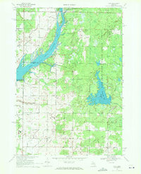
1969 · Hope
USGS Topo · 1:24,000
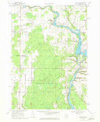
1969 · Edenville
USGS Topo · 1:24,000