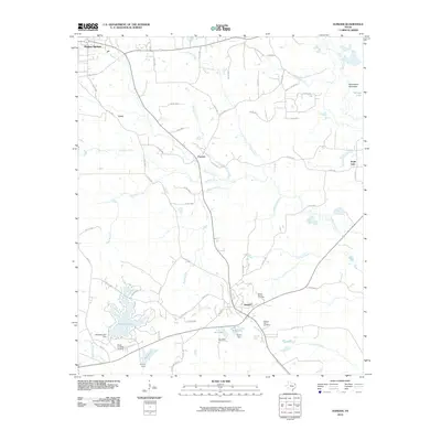
2010 Map of Avinger
USGS Topo · Published 2010About this map
Avinger and Hughes Springs anchor this East Texas landscape, where the Piney Woods terrain is defined by a dense network of creeks and small private reservoirs. The settlement of Patman and the community at Love are situated along the winding paths of Hughes Creek and Turkey Creek, reflecting a rural development pattern based on water access and local road networks like Avinger Cut-Off Rd. Significant topographic landmarks such as Violet Hill and Donaldson Mountain rise above the drainage basins of Peacock Creek and Goodson Branch.
Find a feature on this map
74 named features on this map. Tap any name to fly to it.
Don’t see what you’re looking for? This feature index may not catch every label — zoom into the map to look around manually.
Map Details
Editions of this 2010 Avinger Map
This is the sole edition of this map. No revisions or reprints were ever made.
Other maps of this area

1910 · Linden
USGS Topo · 1:62,500

1914 · Daingerfield
USGS Topo · 1:62,500

1953 · Texarkana
USGS Topo · 1:250,000

1956 · Texarkana
USGS Topo · 1:250,000

1956 · Tyler
USGS Topo · 1:250,000

1961 · Cunningham Creek
USGS Topo · 1:24,000

1961 · Lassater
USGS Topo · 1:24,000

1962 · Kellyville
USGS Topo · 1:24,000

1962 · Avinger
USGS Topo · 1:24,000

1962 · Ore City
USGS Topo · 1:24,000