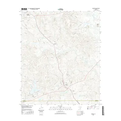
2016 Map of Avinger
USGS Topo · Published 2016About this map
Hughes Springs sits at the northern edge of this West Texas landscape, where the headwaters of Hughes Cr and Cawhorn Cr begin their descent through the Piney Woods. This 2016 survey highlights a region defined by its water and timber, with the community of Avinger serving as a central hub for the surrounding rural area. The landscape is punctuated by numerous small bodies of water like Birdie Lake and Simpson Lake, many of which appear to be part of the local drainage systems of Cattail Cr and Johnson Cr.
Find a feature on this map
85 named features on this map. Tap any name to fly to it.
Don’t see what you’re looking for? This feature index may not catch every label — zoom into the map to look around manually.
Map Details
Editions of this 2016 Avinger Map
This is the sole edition of this map. No revisions or reprints were ever made.
Other maps of this area

1910 · Linden
USGS Topo · 1:62,500

1914 · Daingerfield
USGS Topo · 1:62,500

1953 · Texarkana
USGS Topo · 1:250,000

1956 · Texarkana
USGS Topo · 1:250,000

1956 · Tyler
USGS Topo · 1:250,000

1961 · Cunningham Creek
USGS Topo · 1:24,000

1961 · Lassater
USGS Topo · 1:24,000

1962 · Kellyville
USGS Topo · 1:24,000

1962 · Avinger
USGS Topo · 1:24,000

1962 · Ore City
USGS Topo · 1:24,000