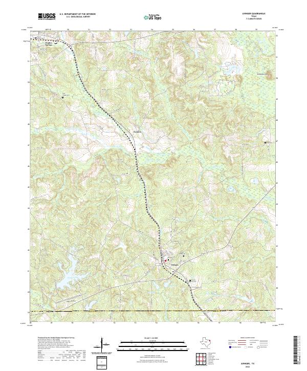
2022 Map of Avinger
USGS Topo · Published 2022About this map
Avinger serves as a central hub in this northeast Texas landscape, situated at the intersection of local rail and road networks where the Avinger Cut Off rail line meets the town's grid. The area is characterized by a high density of commemorative sites, including the Mount Moriah Cem, Avinger Cem, and Hickory Hill Cem, which offer significant value for genealogical research. Further north, the settlement of Hughes Springs is defined by its own Hughes Springs Cem and proximity to the winding path of Hughes Cr.
Find a feature on this map
95 named features on this map. Tap any name to fly to it.
Don’t see what you’re looking for? This feature index may not catch every label — zoom into the map to look around manually.
Map Details
Editions of this 2022 Avinger Map
This is the sole edition of this map. No revisions or reprints were ever made.
Other maps of this area
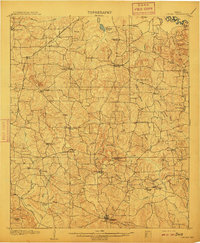
1910 · Linden
USGS Topo · 1:62,500
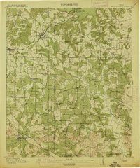
1914 · Daingerfield
USGS Topo · 1:62,500

1953 · Texarkana
USGS Topo · 1:250,000

1956 · Texarkana
USGS Topo · 1:250,000

1956 · Tyler
USGS Topo · 1:250,000
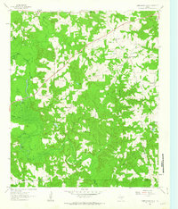
1961 · Cunningham Creek
USGS Topo · 1:24,000
1961 · Lassater
USGS Topo · 1:24,000
1962 · Kellyville
USGS Topo · 1:24,000
1962 · Avinger
USGS Topo · 1:24,000
1962 · Ore City
USGS Topo · 1:24,000