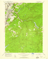
1946 Map of Avoca
USGS Topo · Published 1959About this map
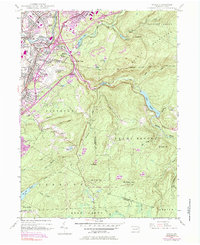
Industrial infrastructure and the growing Scranton-Wilkes-Barre Airport anchor this mid-century survey of the coal country at the Luzerne and Lackawanna county line. The Lackawanna River corridor is densely packed with transit and heavy industry, featuring the Consolidated Breaker and Jermyn Breaker alongside complex rail junctions for the Erie RR and Delaware and Hudson RR. Residential clusters like Old Forge, Moosic, and Duryea are interspersed with numerous community landmarks, including the Old Forge Cem and Roosevelt Sch. To the east, the landscape shifts abruptly into the high elevations of the Moosic Mountains, where the drainage of Spring Brook and Nesbitt Reservoir dominates the terrain. This map captures the valley just as the N E Extn PA Turnpike began to bisect the rugged eastern ridges, signaling a transition from the rail-dominated coal era toward modern highway connectivity.
Find a feature on this map
82 named features on this map. Tap any name to fly to it.
Don’t see what you’re looking for? This feature index may not catch every label — zoom into the map to look around manually.
Map Details
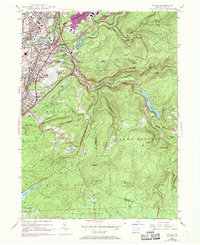
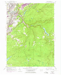
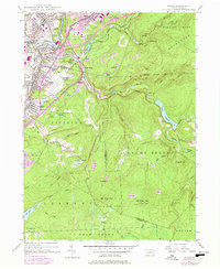
Editions of this 1946 Avoca Map
5 editions found
Other maps of this area

1889 · Scranton
USGS Topo · 1:62,500

1891 · Wilkesbarre
USGS Topo · 1:62,500

1891 · Scranton
USGS Topo · 1:62,500

1893 · Pittston
USGS Topo · 1:62,500

1893 · Scranton
USGS Topo · 1:62,500

1894 · Wilkesbarre
USGS Topo · 1:62,500

1922 · Stoddartsville
USGS Topo · 1:62,500

1924 · Stoddartsville
USGS Topo · 1:62,500

1943 · Scranton
USGS Topo · 1:125,000

1943 · Stoddartsville
USGS Topo · 1:62,500