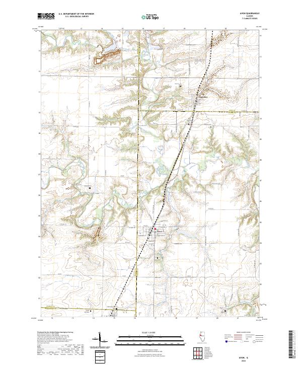
2024 Map of Avon
USGS Topo · Published 2024About this map
Avon serves as a central hub in this western Illinois landscape, where the borders of Fulton, Knox, Warren, and McDonough counties converge. The topography is defined by the drainage patterns of Swan Creek and Cedar Creek, which carve through the prairie to create a network of wooded draws and agricultural uplands. This modern survey illustrates the persistent settlement patterns of the region, anchored by established communities like St. Augustine and the remains of Old Prairie City.
Find a feature on this map
68 named features on this map. Tap any name to fly to it.
Don’t see what you’re looking for? This feature index may not catch every label — zoom into the map to look around manually.
Map Details
Editions of this 2024 Avon Map
This is the sole edition of this map. No revisions or reprints were ever made.
Other maps of this area

1915 · Avon
USGS Topo · 1:62,500

1916 · Good Hope
USGS Topo · 1:62,500

1918 · Good Hope
USGS Topo · 1:62,500

1921 · Monmouth
USGS Topo · 1:62,500

1923 · Monmouth
USGS Topo · 1:62,500

1925 · Galesburg
USGS Topo · 1:62,500

1927 · Galesburg
USGS Topo · 1:62,500

1944 · Avon
USGS Topo · 1:62,500

1958 · Burlington
USGS Topo · 1:250,000

1961 · Burlington
USGS Topo · 1:250,000