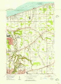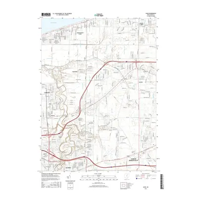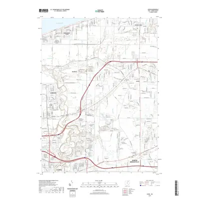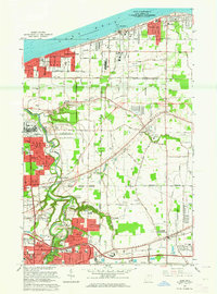
1963 Map of Avon
USGS Topo · Published 1964About this map
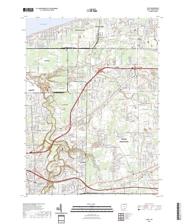
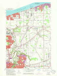
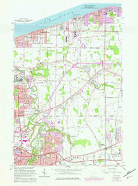
The southern shoreline of Lake Erie defines this 1963 view of Lorain County, where the industrial expansion of Lorain and Elyria meets the established agricultural corridors of Avon and Sheffield. The landscape is etched by ancient geological features like North Ridge and Stony Ridge, which dictated the early road patterns of Detroit Road and Chicago and St Louis Road. The post-war transition is evident in the burgeoning suburban footprints of Sheffield Lake and North Ridgeville, while the Ohio Turnpike cuts a modern path across the southern sections near Vincent. Local institutions serve as anchors for these growing neighborhoods, including St Teresa Sch, Brookside High Sch, and Maplewood Sch. The eastern map area remains more open, characterized by greenhouse operations and gas wells scattered between the drainage of French Creek.
Find a feature on this map
63 named features on this map. Tap any name to fly to it.
Don’t see what you’re looking for? This feature index may not catch every label — zoom into the map to look around manually.
Map Details
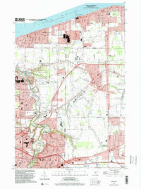
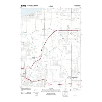
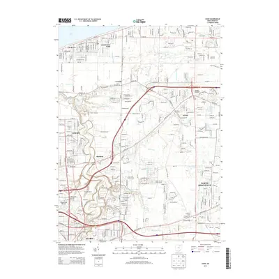
Editions of this 1963 Avon Map
3 editions found
Historical Maps of Lorain Through Time
8 maps found